Our "Landform+" range is only available in England and Wales and is almost identical to the "Landform" range. In addition to the features shown in the "Landform" range we have included areas of Access Land on the map. These are shown in the familiar outdoor map style of a yellow tint over the map. In Scotland the access situation does not necessitate the existance of Access Land and therefore there is nothing for us to show.
Landform+
-
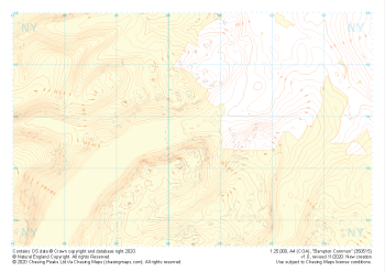
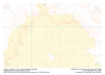 "Burnsall and Thorpe Fell" Landform+£4.99
1:25,000 scale map covering Burnsall and Thorpe Fell in the North Yorkshire (approx. center SE015593).
Learn More -
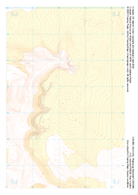
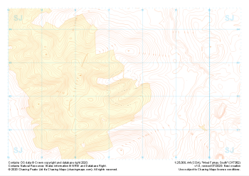
 "Moel Famau West" Landform+£4.99
1:25,000 scale map covering Moel Famau West in the North Wales (approx. center SJ153645).
Learn More -
 "Eglwyseg Mountain" Landform+£4.99
1:25,000 scale map covering Eglwyseg Mountain in the North Wales (approx. center SJ233465).
Learn More -
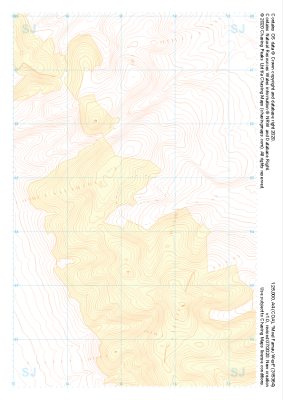
 "Moel y Parc" Landform+£4.99
1:25,000 scale map covering Moel y Parc in the North Wales (approx. center SJ123703).
Learn More -
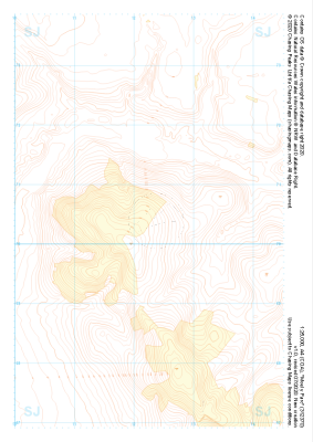
 "Moel Famau South" Landform+£4.99
1:25,000 scale map covering Moel Famau South in the North Wales (approx. center SJ175623).
Learn More -
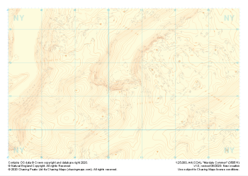 "Mardale Common" Landform+£4.99
1:25,000 scale map covering Mardale Common in the Lake District (approx. center NY505113).
Learn More -
 "Bampton Common" Landform+£4.99
1:25,000 scale map covering Bampton Common in the Lake District (approx. center NY505158).
Learn More -
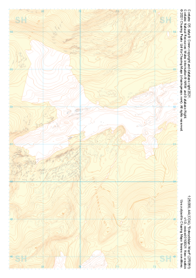
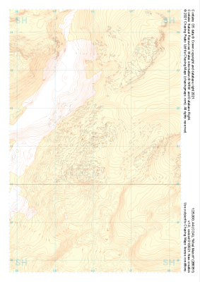 "Moel Meirch" Landform+£4.99
1:25,000 scale map covering Moel Meirch in the North Wales (approx. center SH661511).
Learn More -
 "Dolwyddelan West" Landform+£4.99
1:25,000 scale map covering Dolwyddelan West in the North Wales (approx. center SH703511).
Learn More -
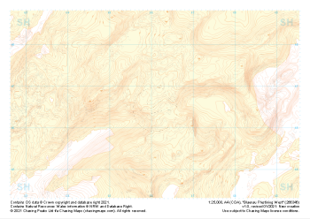 "Blaenau Ffestiniog West" Landform+£4.99
1:25,000 scale map covering Blaenau Ffestiniog West in the North Wales (approx. center SH661466).
Learn More