Our "Landform+" range is only available in England and Wales and is almost identical to the "Landform" range. In addition to the features shown in the "Landform" range we have included areas of Access Land on the map. These are shown in the familiar outdoor map style of a yellow tint over the map. In Scotland the access situation does not necessitate the existance of Access Land and therefore there is nothing for us to show.
Landform+
-
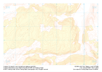
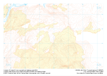
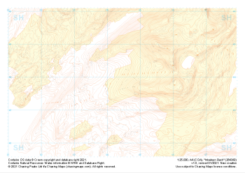 "Moelwyn Bach" Landform+£4.99
1:25,000 scale map covering Moelwyn Bach in the North Wales (approx. center SH645438).
Learn More -
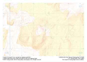 "Blaenau Ffestiniog East" Landform+£4.99
1:25,000 scale map covering Blaenau Ffestiniog East in the North Wales (approx. center SH729456).
Learn More -
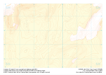 "Llyn Conwy" Landform+£4.99
1:25,000 scale map covering Llyn Conwy in the North Wales (approx. center SH793456).
Learn More -
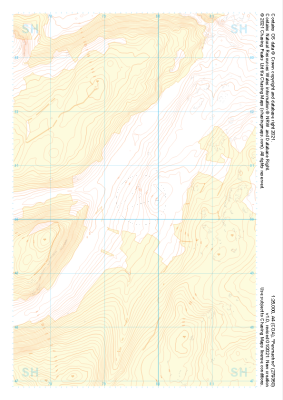 "Penmachno" Landform+£4.99
1:25,000 scale map covering Penmachno in the North Wales (approx. center SH796504).
Learn More -
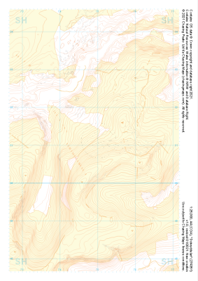
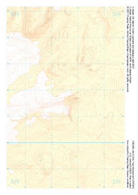
 "Betws-y-coed" Landform+£4.99
1:25,000 scale map covering Betws-y-coed in the North Wales (approx. center SH776554).
Learn More -
 "Dolwyddelan" Landform+£4.99
1:25,000 scale map covering Dolwyddelan in the North Wales (approx. center SH749511).
Learn More -
 "Llyn Morwynion" Landform+£4.99
1:25,000 scale map covering Llyn Morwynion in the North Wales (approx. center SH735417).
Learn More -
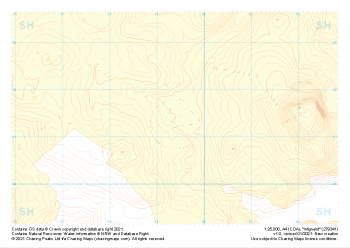 "Migneint" Landform+£4.99
1:25,000 scale map covering Migneint in the North Wales (approx. center SH794414).
Learn More -
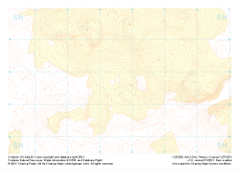 "Moel y Croesau" Landform+£4.99
1:25,000 scale map covering Moel y Croesau in the North Wales (approx. center SH736377).
Learn More -
 "Ceunant Llennyrch" Landform+£4.99
1:25,000 scale map covering Ceunant Llennyrch in the North Wales (approx. center SH660375).
Learn More