Our "Landform+" range is only available in England and Wales and is almost identical to the "Landform" range. In addition to the features shown in the "Landform" range we have included areas of Access Land on the map. These are shown in the familiar outdoor map style of a yellow tint over the map. In Scotland the access situation does not necessitate the existance of Access Land and therefore there is nothing for us to show.
Landform+
-
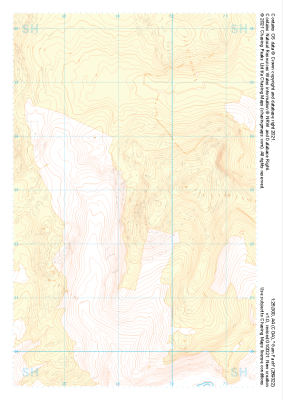
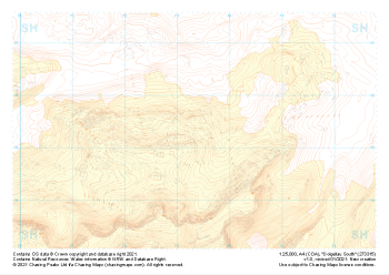
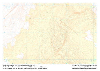 "Rhinogs North" Landform+£4.99
1:25,000 scale map covering Rhinogs North in the North Wales (approx. center SH648339).
Learn More -
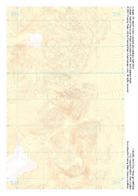
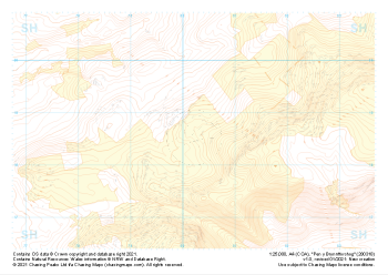
 "Rhinogs SW" Landform+£4.99
1:25,000 scale map covering Rhinogs SW in the North Wales (approx. center SH637260).
Learn More -
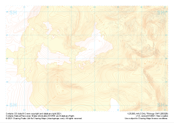
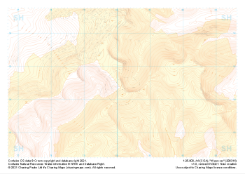
 "Rhinogs" Landform+£4.99
1:25,000 scale map covering Rhinogs in the North Wales (approx. center SH658291).
Learn More -
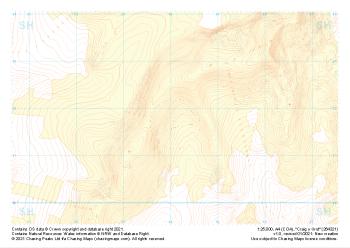 "Craig y Grut" Landform+£4.99
1:25,000 scale map covering Craig y Grut in the North Wales (approx. center SH641218).
Learn More -
 "Garn Fach" Landform+£4.99
1:25,000 scale map covering Garn Fach in the North Wales (approx. center SH693228).
Learn More -
 "Pen y Brynnfforchog" Landform+£4.99
1:25,000 scale map covering Pen y Brynnfforchog in the North Wales (approx. center SH802187).
Learn More -
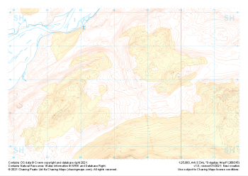
 "Waun-oer" Landform+£4.99
1:25,000 scale map covering Waun-oer in the North Wales (approx. center SH802145).
Learn More -
 "Dolgellau West" Landform+£4.99
1:25,000 scale map covering Dolgellau West in the North Wales (approx. center SH683159).
Learn More -
 "Dolgellau South" Landform+£4.99
1:25,000 scale map covering Dolgellau South in the North Wales (approx. center SH733153).
Learn More -
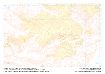 "Llyn Barfog" Landform+£4.99
1:25,000 scale map covering Llyn Barfog in the North Wales (approx. center SN647999).
Learn More