Our "Landform+" range is only available in England and Wales and is almost identical to the "Landform" range. In addition to the features shown in the "Landform" range we have included areas of Access Land on the map. These are shown in the familiar outdoor map style of a yellow tint over the map. In Scotland the access situation does not necessitate the existance of Access Land and therefore there is nothing for us to show.
Landform+
-
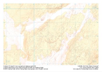 "Moel y Dyniewyd" Landform+£4.99
1:25,000 scale map covering Moel y Dyniewyd in North Wales (approx. center SH612480).
Learn More -
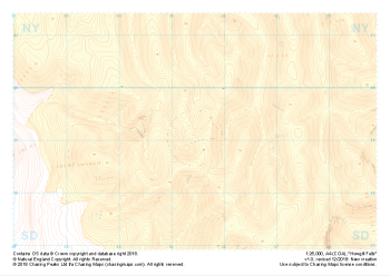 "Howgill Fells" Landform+£4.99
1:25,000 scale map covering Howgill Fells in the Yorkshire Dales (approx. center SD654990).
Learn More -
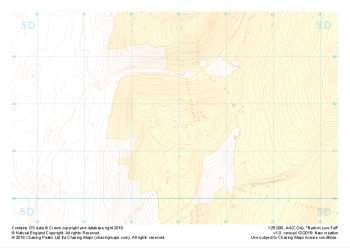 "Barbon Low Fell" Landform+£4.99
1:25,000 scale map covering Barbon Low Fell in the Yorkshire Dales (approx. center SD649816).
Learn More -
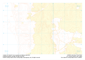 "Picket Plain" Landform+£4.99
1:25,000 scale map covering Picket Plain in the South West (approx. center SU191043).
Learn More -
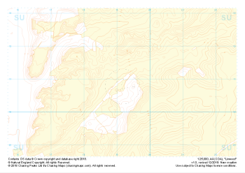 "Linwood" Landform+£4.99
1:25,000 scale map covering Linwood in the South West (approx. center SU192108).
Learn More -
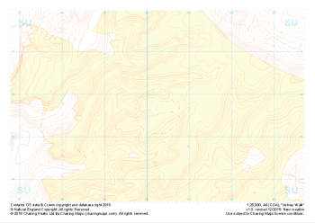 "Ashley Walk" Landform+£4.99
1:25,000 scale map covering Ashley Walk in the South West (approx. center SU202156).
Learn More -
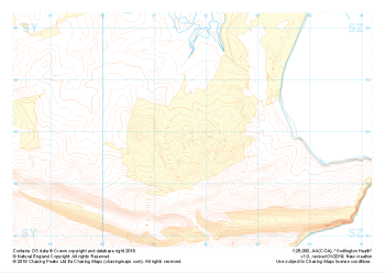
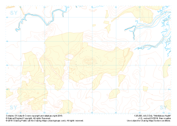 "Middlebere Heath" Landform+£4.99
1:25,000 scale map covering Middlebere Heath in the South West (approx. center SY948851).
Learn More -
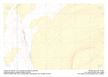 "Horton" Landform+£4.99
1:25,000 scale map covering Horton in the Yorkshire Dales (approx. center SD825763).
Learn More -
 "Godlington Heath" Landform+£4.99
1:25,000 scale map covering Godlington Heath in the South West (approx. center SZ017829).
Learn More -
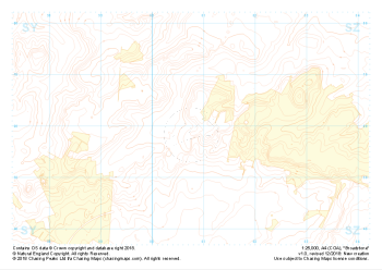 "Broadstone" Landform+£4.99
1:25,000 scale map covering Broadstone in the South West (approx. center SZ008958).
Learn More