Our "Major Hazards" map contains the "full works" of features we have identified as suitable to put land forms into context. Showing you contours at 5m or 10m intervals, rocky features, major streams, woodland, major roads and railway lines, this map removes a lot of the "distracting clutter" found on more detailed maps. While we always recommend carrying a standard walking map as backup, this series is a perfect introduction to navigation by natural features.
Major Hazards
-
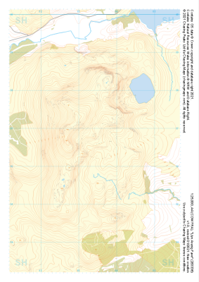 "Llyn Arenig Fawr" Major Hazards£4.99
1:25,000 scale map covering Llyn Arenig Fawr in the North Wales (approx. center SH834367).
Learn More -
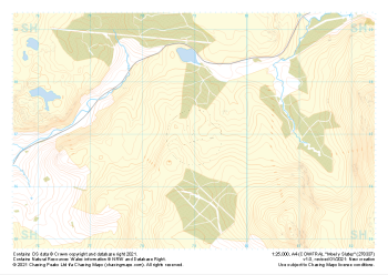 "Moel y Slates" Major Hazards£4.99
1:25,000 scale map covering Moel y Slates in the North Wales (approx. center SH790371).
Learn More -
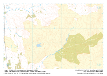 "Moel Oernant" Major Hazards£4.99
1:25,000 scale map covering Moel Oernant in the North Wales (approx. center SH745335).
Learn More -
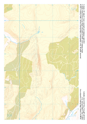 "Dduallt" Major Hazards£4.99
1:25,000 scale map covering Dduallt in the North Wales (approx. center SH813275).
Learn More -
 "Moel Hebog" Major Hazards£4.99
1:25,000 scale map covering Moel Hebog in the North Wales (approx. center SH559471).
Learn More -
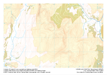
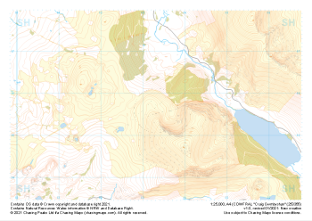 "Craig Cwmbychan" Major Hazards£4.99
1:25,000 scale map covering Craig Cwmbychan in the North Wales (approx. center SH533557).
Learn More -
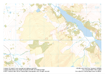 "Llanberis" Major Hazards£4.99
1:25,000 scale map covering Llanberis in the North Wales (approx. center SH556603).
Learn More -
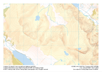 "Snowdon NW" Major Hazards£4.99
1:25,000 scale map covering Snowdon NW in the North Wales (approx. center SH580568).
Learn More -
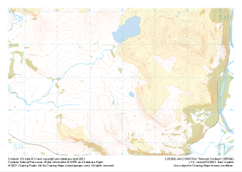 "Mynydd Gorllwyn" Major Hazards£4.99
1:25,000 scale map covering Mynydd Gorllwyn in the North Wales (approx. center SH560429).
Learn More -
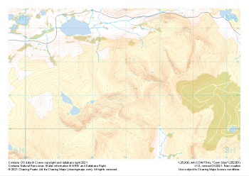 "Cwm Silyn" Major Hazards£4.99
1:25,000 scale map covering Cwm Silyn in the North Wales (approx. center SH530513).
Learn More