Our "Major Hazards" map contains the "full works" of features we have identified as suitable to put land forms into context. Showing you contours at 5m or 10m intervals, rocky features, major streams, woodland, major roads and railway lines, this map removes a lot of the "distracting clutter" found on more detailed maps. While we always recommend carrying a standard walking map as backup, this series is a perfect introduction to navigation by natural features.
Major Hazards
-
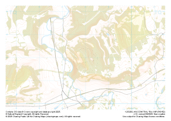
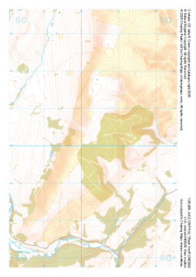 "Black Knoll" Major Hazards£4.99
1:25,000 scale map covering Black Knoll in the Midlands (approx. center SO403902).
Learn More -
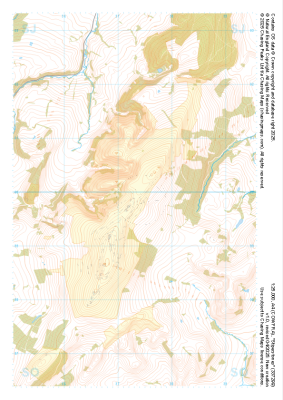
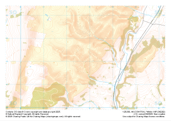 "Minton Hill" Major Hazards£4.99
1:25,000 scale map covering Minton Hill in the Midlands (approx. center SO428922).
Learn More -
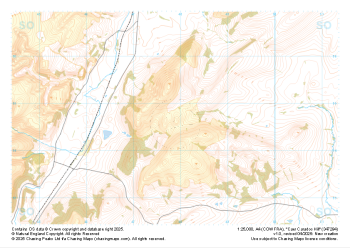 "Caer Caradoc Hill" Major Hazards£4.99
1:25,000 scale map covering Caer Caradoc Hill in the Midlands (approx. center SO479947).
Learn More -
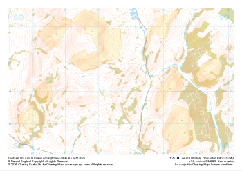 "Roundton Hill" Major Hazards£4.99
1:25,000 scale map covering Roundton Hill in the Midlands (approx. center SO317953).
Learn More -
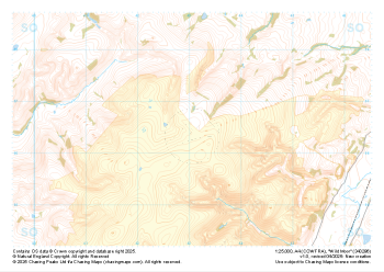 "Wild Moor" Major Hazards£4.99
1:25,000 scale map covering Wild Moor in the Midlands (approx. center SO431965).
Learn More -
 "Stiperstones" Major Hazards£4.99
1:25,000 scale map covering Stiperstones in the Midlands (approx. center SO373999).
Learn More -
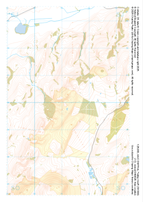 "Valley Knoll" Major Hazards£4.99
1:25,000 scale map covering Valley Knoll in the Midlands (approx. center SJ312001).
Learn More -
 "Box Hill" Major Hazards£4.99
1:25,000 scale map covering Box Hill in the South East (approx. center TQ180520).
Learn More -
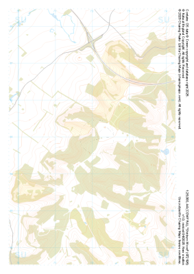 "Shirburn Wood" Major Hazards£4.99
1:25,000 scale map covering Shirburn Wood in the South East (approx. center SU720950).
Learn More -
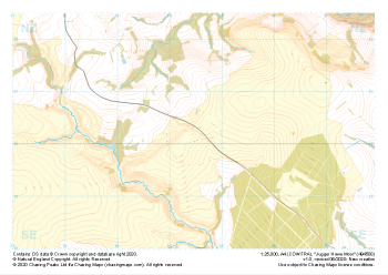 "Jugger Howe Moor" Major Hazards£4.99
1:25,000 scale map covering Jugger Howe Moor in the North Yorkshire (approx. center NZ945003).
Learn More