Our "Major Hazards" map contains the "full works" of features we have identified as suitable to put land forms into context. Showing you contours at 5m or 10m intervals, rocky features, major streams, woodland, major roads and railway lines, this map removes a lot of the "distracting clutter" found on more detailed maps. While we always recommend carrying a standard walking map as backup, this series is a perfect introduction to navigation by natural features.
Major Hazards
-
 "Lynch Common" Major Hazards£4.99
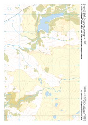
1:25,000 scale map covering Lynch Common in the Dartmoor (approx. center SX553661).
Learn More -
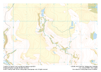
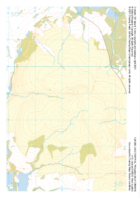
 "Heptonstall Moor East" Major Hazards£4.99
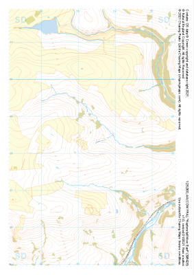
1:25,000 scale map covering Heptonstall Moor East in the Midlands (approx. center SD954284).
Learn More -
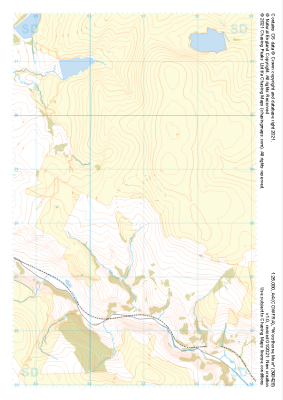
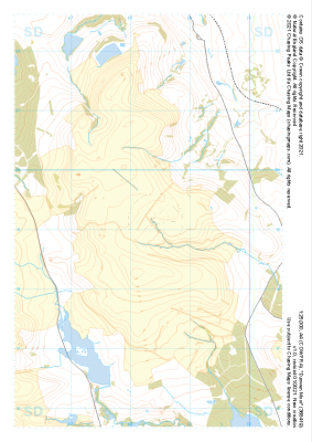
 "Stott Hill Moor" Major Hazards£4.99
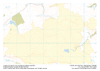
1:25,000 scale map covering Stott Hill Moor in the Midlands (approx. center SD975407).
Learn More -
 "Oxenhope Moor" Major Hazards£4.99
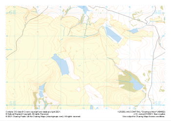
1:25,000 scale map covering Oxenhope Moor in the Midlands (approx. center SE041321).
Learn More -
 "Midgley Moor" Major Hazards£4.99
1:25,000 scale map covering Midgley Moor in the Midlands (approx. center SE027290).
Learn More -
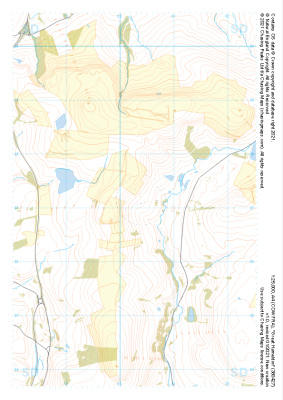
 "Worsthorne Moor" Major Hazards£4.99
1:25,000 scale map covering Worsthorne Moor in the Midlands (approx. center SD908284).
Learn More -
 "Great Hameldon" Major Hazards£4.99
1:25,000 scale map covering Great Hameldon in the Midlands (approx. center SD803271).
Learn More -
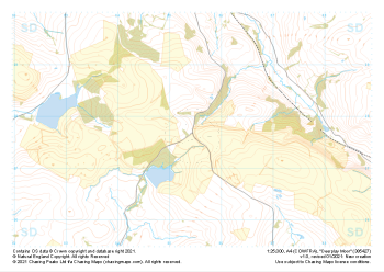 "Deerplay Moor" Major Hazards£4.99
1:25,000 scale map covering Deerplay Moor in the Midlands (approx. center SD854277).
Learn More -
 "Wheelton Moor" Major Hazards£4.99
1:25,000 scale map covering Wheelton Moor in the Midlands (approx. center SD642188).
Learn More -
 "Darwen Moor" Major Hazards£4.99
1:25,000 scale map covering Darwen Moor in the Midlands (approx. center SD683191).
Learn More