Our "Major Hazards" map contains the "full works" of features we have identified as suitable to put land forms into context. Showing you contours at 5m or 10m intervals, rocky features, major streams, woodland, major roads and railway lines, this map removes a lot of the "distracting clutter" found on more detailed maps. While we always recommend carrying a standard walking map as backup, this series is a perfect introduction to navigation by natural features.
Major Hazards
-
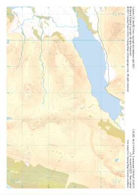 "Loweswater Fell East" Major Hazards£4.99
1:25,000 scale map covering Loweswater Fell East in the Lake District (approx. center NY147178).
Learn More -
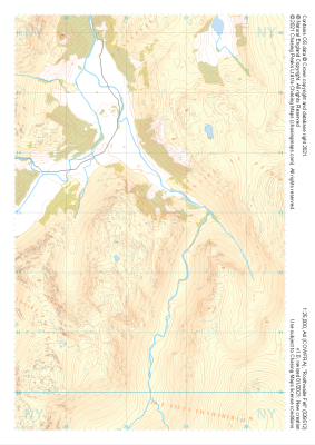
 "Honister Pass" Major Hazards£4.99
1:25,000 scale map covering Honister Pass in the Lake District (approx. center NY221125).
Learn More -
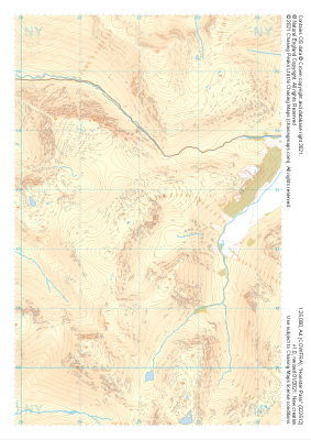
 "Rosthwaite Fell" Major Hazards£4.99
1:25,000 scale map covering Rosthwaite Fell in the Lake District (approx. center NY264128).
Learn More -
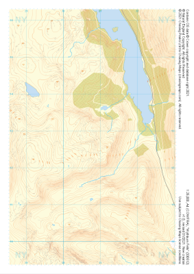 "Wythburn Fells" Major Hazards£4.99
1:25,000 scale map covering Wythburn Fells in the Lake District (approx. center NY308128).
Learn More -
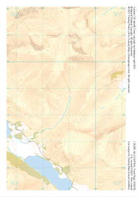 "Knott Rigg" Major Hazards£4.99
1:25,000 scale map covering Knott Rigg in the Lake District (approx. center NY189186).
Learn More -
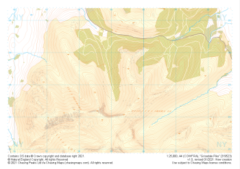 "Grisedale Pike" Major Hazards£4.99
1:25,000 scale map covering Grisedale Pike in the Lake District (approx. center NY193231).
Learn More -
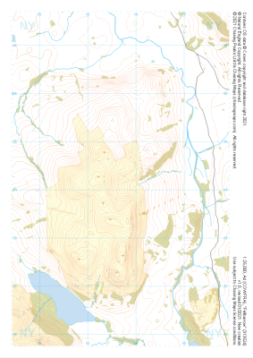 "Fellbarrow" Major Hazards£4.99
1:25,000 scale map covering Fellbarrow in the Lake District (approx. center NY137242).
Learn More -
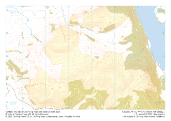 "Broom Fell" Major Hazards£4.99
1:25,000 scale map covering Broom Fell in the Lake District (approx. center NY187279).
Learn More -
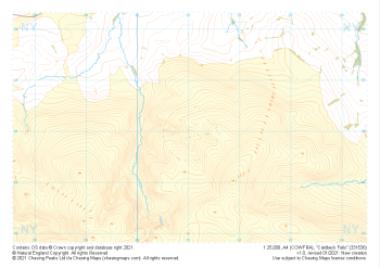 "Caldbeck Fells" Major Hazards£4.99
1:25,000 scale map covering Caldbeck Fells in the Lake District (approx. center NY310361).
Learn More -
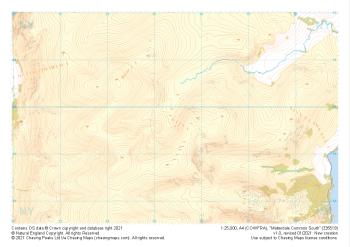 "Matterdale Common South" Major Hazards£4.99
1:25,000 scale map covering Matterdale Common South in the Lake District (approx. center NY354198).
Learn More