Our "Major Hazards" map contains the "full works" of features we have identified as suitable to put land forms into context. Showing you contours at 5m or 10m intervals, rocky features, major streams, woodland, major roads and railway lines, this map removes a lot of the "distracting clutter" found on more detailed maps. While we always recommend carrying a standard walking map as backup, this series is a perfect introduction to navigation by natural features.
Major Hazards
-
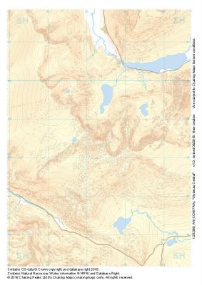 "Glyderau Central" Major Hazards£4.99
1:25,000 scale map covering Glyderau Central in the North Wales (approx. center SH643585).
Learn More -
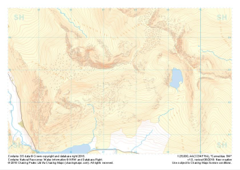
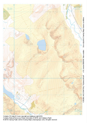 "Glyderau West" Major Hazards£4.99
1:25,000 scale map covering Glyderau West in the North Wales (approx. center SH617611).
Learn More -
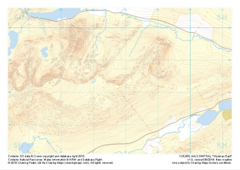 "Glyderau East" Major Hazards£4.99
1:25,000 scale map covering Glyderau East in the North Wales (approx. center SH678584).
Learn More -
 "Carneddau NW" Major Hazards£4.99
1:25,000 scale map covering Carneddau NW in the North Wales (approx. center SH668716).
Learn More -
 "Carneddau SE" Major Hazards£4.99
1:25,000 scale map covering Carneddau SE in the North Wales (approx. center SH675627).
Learn More -
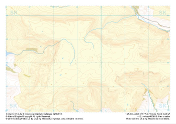 "Kinder Scout Central" Major Hazards£4.99
1:25,000 scale map covering Kinder Scout Central in the Peak District (approx. center SK094880).
Learn More -
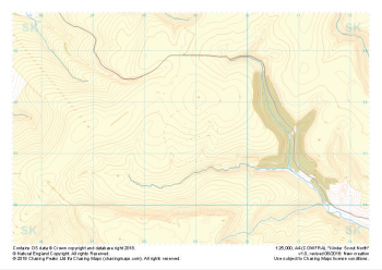 "Kinder Scout North" Major Hazards£4.99
1:25,000 scale map covering Kinder Scout North in the Peak District (approx. center SK089914).
Learn More -
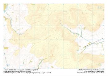 "Kinder Scout South" Major Hazards£4.99
1:25,000 scale map covering Kinder Scout South in the Peak District (approx. center SK084851).
Learn More -
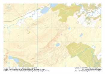 "Carnedd Moel Siabod" Major Hazards£4.99
1:25,000 scale map covering Carnedd Moel Siabod in the North Wales (approx. center SH711554).
Learn More -
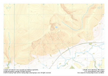 "Blencathra" Major Hazards£4.99
1:25,000 scale map covering Blencathra in the Lake District (approx. center NY327275).
Learn More