Our "Major Hazards" map contains the "full works" of features we have identified as suitable to put land forms into context. Showing you contours at 5m or 10m intervals, rocky features, major streams, woodland, major roads and railway lines, this map removes a lot of the "distracting clutter" found on more detailed maps. While we always recommend carrying a standard walking map as backup, this series is a perfect introduction to navigation by natural features.
Major Hazards
-
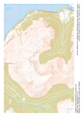 "Ballachulish SW" Major Hazards£4.99
1:25,000 scale map covering Ballachulish SW in the Scottish Highlands (approx. center NN032566).
Learn More -
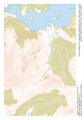 "Ballachulish SE" Major Hazards£4.99
1:25,000 scale map covering Ballachulish SE in the Scottish Highlands (approx. center NN075566).
Learn More -
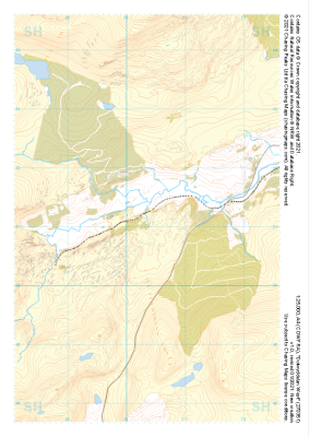
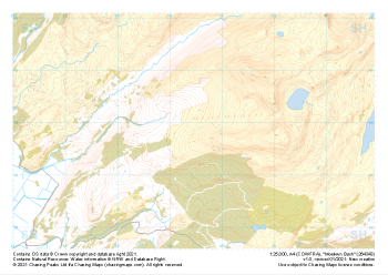
 "Moel Meirch" Major Hazards£4.99
1:25,000 scale map covering Moel Meirch in the North Wales (approx. center SH661511).
Learn More -
 "Dolwyddelan West" Major Hazards£4.99
1:25,000 scale map covering Dolwyddelan West in the North Wales (approx. center SH703511).
Learn More -
 "Blaenau Ffestiniog West" Major Hazards£4.99
1:25,000 scale map covering Blaenau Ffestiniog West in the North Wales (approx. center SH661466).
Learn More -
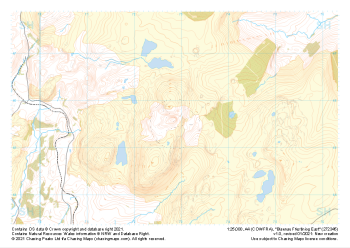
 "Moelwyn Bach" Major Hazards£4.99
1:25,000 scale map covering Moelwyn Bach in the North Wales (approx. center SH645438).
Learn More -
 "Blaenau Ffestiniog East" Major Hazards£4.99
1:25,000 scale map covering Blaenau Ffestiniog East in the North Wales (approx. center SH729456).
Learn More -
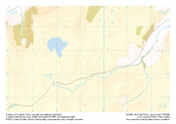 "Llyn Conwy" Major Hazards£4.99
1:25,000 scale map covering Llyn Conwy in the North Wales (approx. center SH793456).
Learn More -
 "Penmachno" Major Hazards£4.99
1:25,000 scale map covering Penmachno in the North Wales (approx. center SH796504).
Learn More -
 "Betws-y-coed" Major Hazards£4.99
1:25,000 scale map covering Betws-y-coed in the North Wales (approx. center SH776554).
Learn More