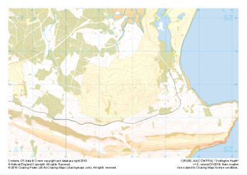
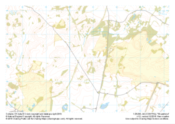
Our "Major Hazards" map contains the "full works" of features we have identified as suitable to put land forms into context. Showing you contours at 5m or 10m intervals, rocky features, major streams, woodland, major roads and railway lines, this map removes a lot of the "distracting clutter" found on more detailed maps. While we always recommend carrying a standard walking map as backup, this series is a perfect introduction to navigation by natural features.
Major Hazards
-
 "Godlington Heath" Major Hazards£4.99
1:25,000 scale map covering Godlington Heath in the South West (approx. center SZ017829).
Learn More -
 "Broadstone" Major Hazards£4.99
1:25,000 scale map covering Broadstone in the South West (approx. center SZ008958).
Learn More