Our "Major Hazards" map contains the "full works" of features we have identified as suitable to put land forms into context. Showing you contours at 5m or 10m intervals, rocky features, major streams, woodland, major roads and railway lines, this map removes a lot of the "distracting clutter" found on more detailed maps. While we always recommend carrying a standard walking map as backup, this series is a perfect introduction to navigation by natural features.
Major Hazards
-
 "Llyn Morwynion" Major Hazards£4.99
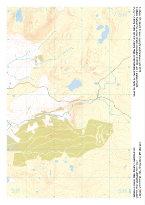
1:25,000 scale map covering Llyn Morwynion in the North Wales (approx. center SH735417).
Learn More -
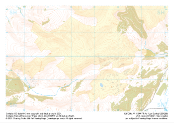
 "Migneint" Major Hazards£4.99
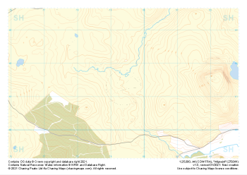
1:25,000 scale map covering Migneint in the North Wales (approx. center SH794414).
Learn More -
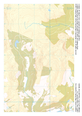
 "Moel y Croesau" Major Hazards£4.99
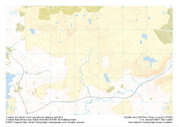
1:25,000 scale map covering Moel y Croesau in the North Wales (approx. center SH736377).
Learn More -
 "Ceunant Llennyrch" Major Hazards£4.99
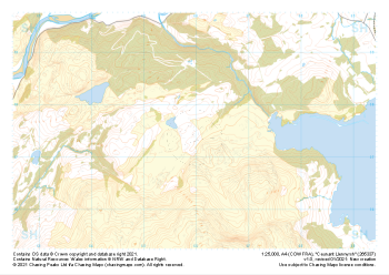
1:25,000 scale map covering Ceunant Llennyrch in the North Wales (approx. center SH660375).
Learn More -
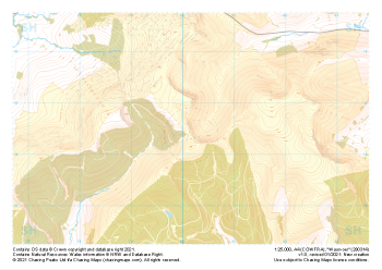
 "Garn Fach" Major Hazards£4.99
1:25,000 scale map covering Garn Fach in the North Wales (approx. center SH693228).
Learn More -
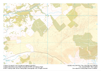 "Pen y Brynnfforchog" Major Hazards£4.99
1:25,000 scale map covering Pen y Brynnfforchog in the North Wales (approx. center SH802187).
Learn More -
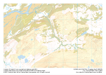
 "Waun-oer" Major Hazards£4.99
1:25,000 scale map covering Waun-oer in the North Wales (approx. center SH802145).
Learn More -
 "Dolgellau West" Major Hazards£4.99
1:25,000 scale map covering Dolgellau West in the North Wales (approx. center SH683159).
Learn More -
 "Dolgellau South" Major Hazards£4.99
1:25,000 scale map covering Dolgellau South in the North Wales (approx. center SH733153).
Learn More -
 "Llyn Barfog" Major Hazards£4.99
1:25,000 scale map covering Llyn Barfog in the North Wales (approx. center SN647999).
Learn More