Our "Natural Features" maps show the landforms (contours and rocky areas) in context of larger streams and forests. By providing a little more detail than our "Landform" or "Contour Only" range, these maps are slightly easier to use and especially good for teaching navigation by contours and land forms to those with limited experience in this area. This series also includes Access Land in England and Wales, as well as the customary national grid overlay to allow for effective bearing and grid reference work.
Natural Features
-
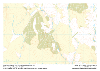
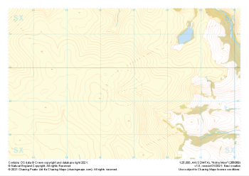
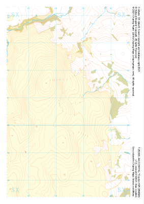 "Cosdon Hill" Natural Features£4.99
1:25,000 scale map covering Cosdon Hill in the Dartmoor (approx. center SX644908).
Learn More -
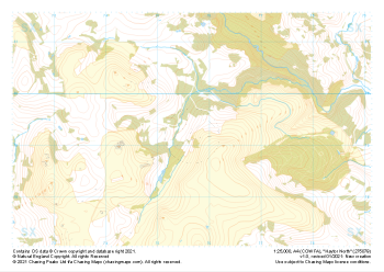
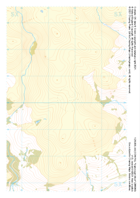
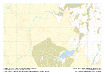 "Fernworthy North" Natural Features£4.99
1:25,000 scale map covering Fernworthy North in the Dartmoor (approx. center SX655855).
Learn More -
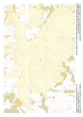
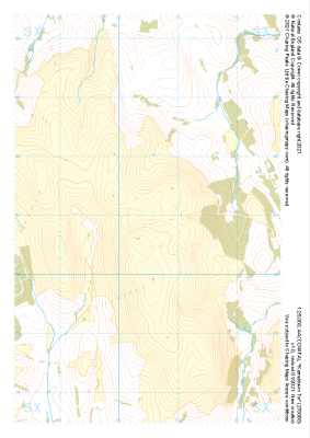 "Hameldown Tor" Natural Features£4.99
1:25,000 scale map covering Hameldown Tor in the Dartmoor (approx. center SX705809).
Learn More -
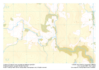
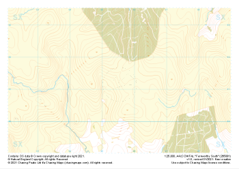 "Fernworthy South" Natural Features£4.99
1:25,000 scale map covering Fernworthy South in the Dartmoor (approx. center SX655813).
Learn More -
 "Bellever" Natural Features£4.99
1:25,000 scale map covering Bellever in the Dartmoor (approx. center SX655770).
Learn More -
 "Haytor South" Natural Features£4.99
1:25,000 scale map covering Haytor South in the Dartmoor (approx. center SX746757).
Learn More -
 "Haytor North" Natural Features£4.99
1:25,000 scale map covering Haytor North in the Dartmoor (approx. center SX757793).
Learn More -
 "Hexworthy" Natural Features£4.99
1:25,000 scale map covering Hexworthy in the Dartmoor (approx. center SX667734).
Learn More -
 "Holne Moor" Natural Features£4.99
1:25,000 scale map covering Holne Moor in the Dartmoor (approx. center SX667695).
Learn More -
 "Ugborough Moor" Natural Features£4.99
1:25,000 scale map covering Ugborough Moor in the Dartmoor (approx. center SX657601).
Learn More