Our "Natural Features" maps show the landforms (contours and rocky areas) in context of larger streams and forests. By providing a little more detail than our "Landform" or "Contour Only" range, these maps are slightly easier to use and especially good for teaching navigation by contours and land forms to those with limited experience in this area. This series also includes Access Land in England and Wales, as well as the customary national grid overlay to allow for effective bearing and grid reference work.
Natural Features
-
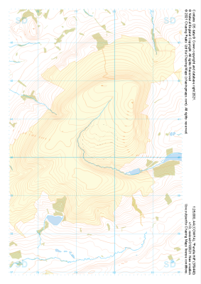 "Pendle Hill" Natural Features£4.99
1:25,000 scale map covering Pendle Hill in the Midlands (approx. center SD795404).
Learn More -
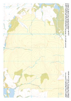 "Wheelton Moor" Natural Features£4.99
1:25,000 scale map covering Wheelton Moor in the Midlands (approx. center SD642188).
Learn More -
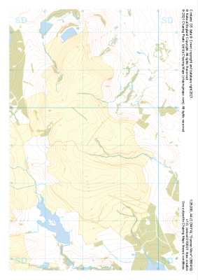 "Darwen Moor" Natural Features£4.99
1:25,000 scale map covering Darwen Moor in the Midlands (approx. center SD683191).
Learn More -
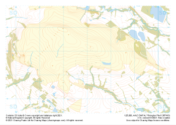 "Rivington Pike" Natural Features£4.99
1:25,000 scale map covering Rivington Pike in the Midlands (approx. center SD670137).
Learn More -
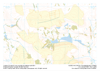 "Oswaldwistle Moor" Natural Features£4.99
1:25,000 scale map covering Oswaldwistle Moor in the Midlands (approx. center SD749230).
Learn More -
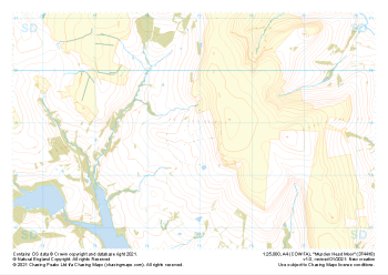 "Musden Head Moor" Natural Features£4.99
1:25,000 scale map covering Musden Head Moor in the Midlands (approx. center SD749188).
Learn More -
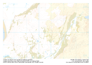 Free Sample "Tyddyn Felin" Natural Features£0.00
1:25,000 scale map covering the area around Tyddyn Felin in North Wales (approx. center SH605295).
Part of our FREE sample maps range, this map featuring our "Natural Features" features and symbology is the perfect showcase for our "off-the-shelf" contour mapping.
Learn More -
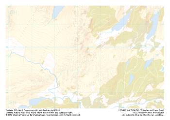 "Crimpiau and Capel Curig" Natural Features£4.99
1:25,000 scale map covering the area around Crimpiau and Capel Curig in North Wales (approx. center SH735595).
Crimpiau near Capel Curig is perfectly suited to mountain navigation and micro navigation training. Thanks to its complexity, the area is used frequently by instructors and centres in the area, including the national mountain centre and the forces adventurous training unit.
Learn More -
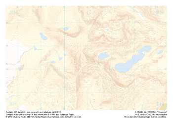 "Snowdon / Yr Wyddfa" Natural Features£4.99
1:25,000 scale map covering Snowdon in North Wales (approx. center SH605545).
Yr Wyddfa as she is known in Welsh is the most summited mountain in Great Britain and one of the busiest summits in Europe. An integral part of the national and Welsh three peaks challenge as well as the Welsh 3000s challenge the area is well known by many walkers.
Away from the well trodden paths used by thousands each year the area boasts some true hidden gems and challenges for all levels of navigators, right up to the experts.
Learn More -
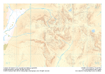 "Scafell Pike" Natural Features£4.99
1:25,000 scale map covering Scafell Pike in the Lake District (approx. center NY215075).
The highest summit in England sits within the beautiful western fells of the Lake District National Park.
Learn More
