Our "Natural Features" maps show the landforms (contours and rocky areas) in context of larger streams and forests. By providing a little more detail than our "Landform" or "Contour Only" range, these maps are slightly easier to use and especially good for teaching navigation by contours and land forms to those with limited experience in this area. This series also includes Access Land in England and Wales, as well as the customary national grid overlay to allow for effective bearing and grid reference work.
Natural Features
-
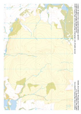
 "Heptonstall Moor East" Natural Features£4.99
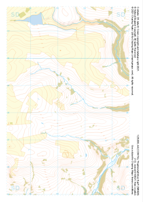
1:25,000 scale map covering Heptonstall Moor East in the Midlands (approx. center SD954284).
Learn More -
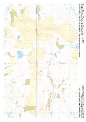
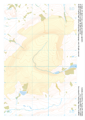
 "Stott Hill Moor" Natural Features£4.99
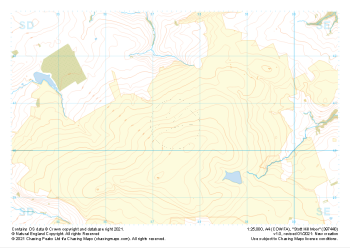
1:25,000 scale map covering Stott Hill Moor in the Midlands (approx. center SD975407).
Learn More -
 "Cleeve Common" Natural Features£4.99
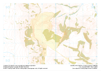
1:25,000 scale map covering Cleeve Common in the South West (approx. center SO996257).
Learn More -
 "Oxenhope Moor" Natural Features£4.99
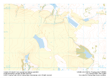
1:25,000 scale map covering Oxenhope Moor in the Midlands (approx. center SE041321).
Learn More -
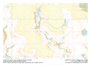 "Midgley Moor" Natural Features£4.99
1:25,000 scale map covering Midgley Moor in the Midlands (approx. center SE027290).
Learn More -
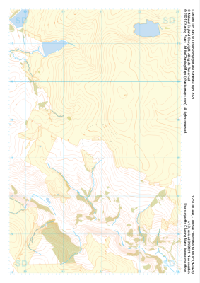 "Worsthorne Moor" Natural Features£4.99
1:25,000 scale map covering Worsthorne Moor in the Midlands (approx. center SD908284).
Learn More -
 "Great Hameldon" Natural Features£4.99
1:25,000 scale map covering Great Hameldon in the Midlands (approx. center SD803271).
Learn More -
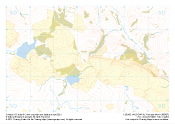 "Deerplay Moor" Natural Features£4.99
1:25,000 scale map covering Deerplay Moor in the Midlands (approx. center SD854277).
Learn More -
 "Pendle Hill" Natural Features£4.99
1:25,000 scale map covering Pendle Hill in the Midlands (approx. center SD795404).
Learn More -
 "Wheelton Moor" Natural Features£4.99
1:25,000 scale map covering Wheelton Moor in the Midlands (approx. center SD642188).
Learn More