Our "Natural Features" maps show the landforms (contours and rocky areas) in context of larger streams and forests. By providing a little more detail than our "Landform" or "Contour Only" range, these maps are slightly easier to use and especially good for teaching navigation by contours and land forms to those with limited experience in this area. This series also includes Access Land in England and Wales, as well as the customary national grid overlay to allow for effective bearing and grid reference work.
Natural Features
-
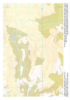
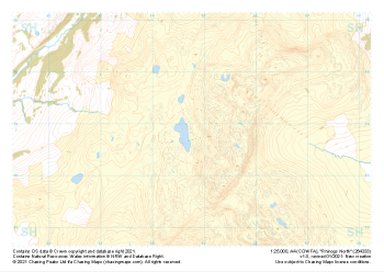 "Rhinogs North" Natural Features£4.99
1:25,000 scale map covering Rhinogs North in the North Wales (approx. center SH648339).
Learn More -
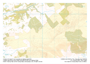
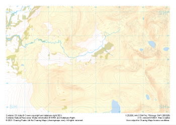 "Rhinogs SW" Natural Features£4.99
1:25,000 scale map covering Rhinogs SW in the North Wales (approx. center SH637260).
Learn More -
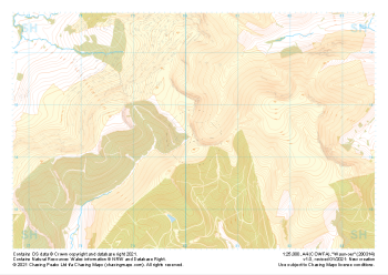
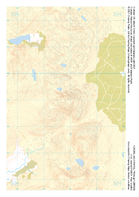 "Rhinogs" Natural Features£4.99
1:25,000 scale map covering Rhinogs in the North Wales (approx. center SH658291).
Learn More -
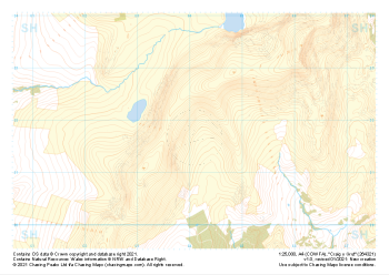 "Craig y Grut" Natural Features£4.99
1:25,000 scale map covering Craig y Grut in the North Wales (approx. center SH641218).
Learn More -
 "Garn Fach" Natural Features£4.99
1:25,000 scale map covering Garn Fach in the North Wales (approx. center SH693228).
Learn More -
 "Pen y Brynnfforchog" Natural Features£4.99
1:25,000 scale map covering Pen y Brynnfforchog in the North Wales (approx. center SH802187).
Learn More -
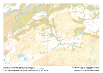
 "Waun-oer" Natural Features£4.99
1:25,000 scale map covering Waun-oer in the North Wales (approx. center SH802145).
Learn More -
 "Dolgellau West" Natural Features£4.99
1:25,000 scale map covering Dolgellau West in the North Wales (approx. center SH683159).
Learn More -
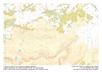 "Dolgellau South" Natural Features£4.99
1:25,000 scale map covering Dolgellau South in the North Wales (approx. center SH733153).
Learn More -
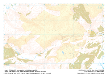 "Llyn Barfog" Natural Features£4.99
1:25,000 scale map covering Llyn Barfog in the North Wales (approx. center SN647999).
Learn More