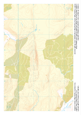
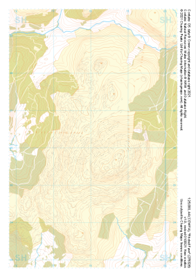
Our "Natural Features" maps show the landforms (contours and rocky areas) in context of larger streams and forests. By providing a little more detail than our "Landform" or "Contour Only" range, these maps are slightly easier to use and especially good for teaching navigation by contours and land forms to those with limited experience in this area. This series also includes Access Land in England and Wales, as well as the customary national grid overlay to allow for effective bearing and grid reference work.
Natural Features
-
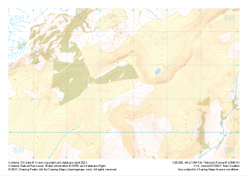
 "Mynydd Craig Goch" Natural Features£4.99
1:25,000 scale map covering Mynydd Craig Goch in the North Wales (approx. center SH509463).
Learn More -
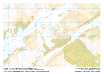 "Birds Rock" Natural Features£4.99
1:25,000 scale map covering Birds Rock in the North Wales (approx. center SH661071).
Learn More -
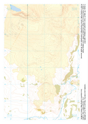
 "Cadair Idris" Natural Features£4.99
1:25,000 scale map covering Cadair Idris in the North Wales (approx. center SH709115).
Learn More -
 "Mynydd Pennant" Natural Features£4.99
1:25,000 scale map covering Mynydd Pennant in the North Wales (approx. center SH647114).
Learn More -
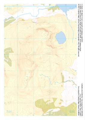 "Llyn Arenig Fawr" Natural Features£4.99
1:25,000 scale map covering Llyn Arenig Fawr in the North Wales (approx. center SH834367).
Learn More -
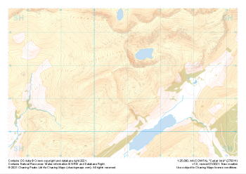
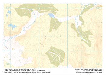 "Moel y Slates" Natural Features£4.99
1:25,000 scale map covering Moel y Slates in the North Wales (approx. center SH790371).
Learn More -
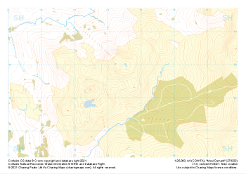 "Moel Oernant" Natural Features£4.99
1:25,000 scale map covering Moel Oernant in the North Wales (approx. center SH745335).
Learn More -
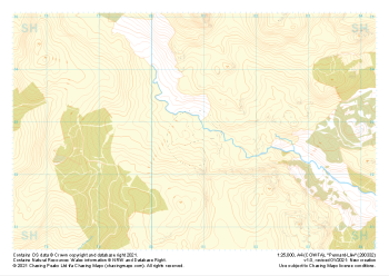 "Pennant-Lliw" Natural Features£4.99
1:25,000 scale map covering Pennant-Lliw in the North Wales (approx. center SH808328).
Learn More -
 "Dduallt" Natural Features£4.99
1:25,000 scale map covering Dduallt in the North Wales (approx. center SH813275).
Learn More -
 "Rhobell Fawr" Natural Features£4.99
1:25,000 scale map covering Rhobell Fawr in the North Wales (approx. center SH781263).
Learn More