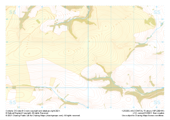
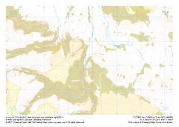
Our "Natural Features" maps show the landforms (contours and rocky areas) in context of larger streams and forests. By providing a little more detail than our "Landform" or "Contour Only" range, these maps are slightly easier to use and especially good for teaching navigation by contours and land forms to those with limited experience in this area. This series also includes Access Land in England and Wales, as well as the customary national grid overlay to allow for effective bearing and grid reference work.
Natural Features
-
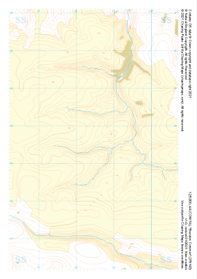 "Brendon Common" Natural Features£4.99
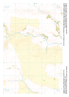
1:25,000 scale map covering Brendon Common in the South West (approx. center SS785436).
Learn More -
 "Mill Hill" Natural Features£4.99
1:25,000 scale map covering Mill Hill in the South West (approx. center SS836452).
Learn More -
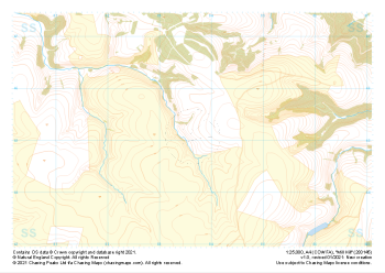
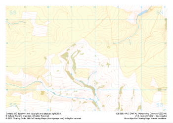 "Almsworthy Common" Natural Features£4.99
1:25,000 scale map covering Almsworthy Common in the South West (approx. center SS836413).
Learn More -
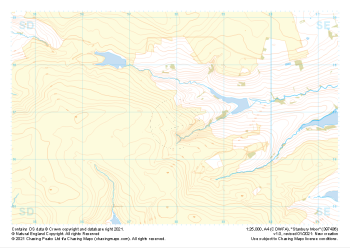 "Stanbury Moor" Natural Features£4.99
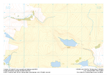
1:25,000 scale map covering Stanbury Moor in the Midlands (approx. center SD980369).
Learn More -
 "Dunkery Hill" Natural Features£4.99
1:25,000 scale map covering Dunkery Hill in the South West (approx. center SS899413).
Learn More -
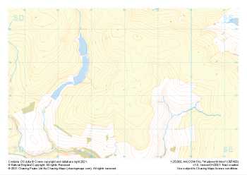 "Wadsworth Moor" Natural Features£4.99
1:25,000 scale map covering Wadsworth Moor in the Midlands (approx. center SD980334).
Learn More -
 "Ley Hill" Natural Features£4.99
1:25,000 scale map covering Ley Hill in the South West (approx. center SS899452).
Learn More -
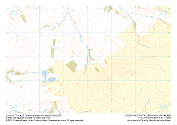 "Boulsworth Hill" Natural Features£4.99
1:25,000 scale map covering Boulsworth Hill in the Midlands (approx. center SD920369).
Learn More -
 "Withypool Common" Natural Features£4.99
1:25,000 scale map covering Withypool Common in the South West (approx. center SS823351).
Learn More -
 "Widdop Moor" Natural Features£4.99
1:25,000 scale map covering Widdop Moor in the Midlands (approx. center SD920334).
Learn More