Our "Natural Features" maps show the landforms (contours and rocky areas) in context of larger streams and forests. By providing a little more detail than our "Landform" or "Contour Only" range, these maps are slightly easier to use and especially good for teaching navigation by contours and land forms to those with limited experience in this area. This series also includes Access Land in England and Wales, as well as the customary national grid overlay to allow for effective bearing and grid reference work.
Natural Features
-
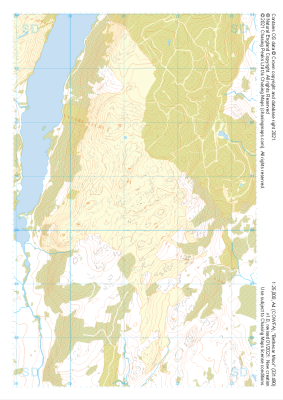
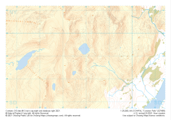 "Coniston Fells" Natural Features£4.99
1:25,000 scale map covering Coniston Fells in the Lake District (approx. center SD280989).
Learn More -
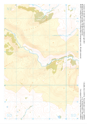 "Roundthwaite Common" Natural Features£4.99
1:25,000 scale map covering Roundthwaite Common in the Lake District (approx. center NY585014).
Learn More -
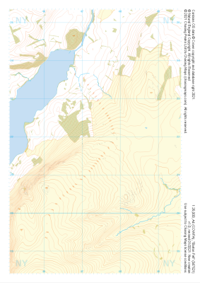 "Barton Fell" Natural Features£4.99
1:25,000 scale map covering Barton Fell in the Lake District (approx. center NY473219).
Learn More -
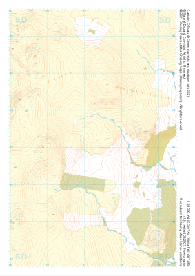 "Ulpha Fell" Natural Features£4.99
1:25,000 scale map covering Ulpha Fell in the Lake District (approx. center SD172933).
Learn More -
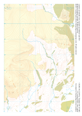 "Thwaites Fell" Natural Features£4.99
1:25,000 scale map covering Thwaites Fell in the Lake District (approx. center SD172878).
Learn More -
 "Pillar" Natural Features£4.99
1:25,000 scale map covering Pillar in the Lake District (approx. center NY182125).
Learn More -
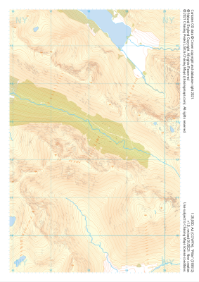
 "Walna Scar" Natural Features£4.99
1:25,000 scale map covering Walna Scar in the Lake District (approx. center SD267948).
Learn More -
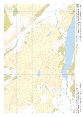 "Woodland Fell" Natural Features£4.99
1:25,000 scale map covering Woodland Fell in the Lake District (approx. center SD275910).
Learn More -
 "Bethecar Moor" Natural Features£4.99
1:25,000 scale map covering Bethecar Moor in the Lake District (approx. center SD312906).
Learn More -
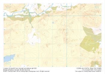 "Birker Fell" Natural Features£4.99
1:25,000 scale map covering Birker Fell in the Lake District (approx. center SD190986).
Learn More