Our "Natural Features" maps show the landforms (contours and rocky areas) in context of larger streams and forests. By providing a little more detail than our "Landform" or "Contour Only" range, these maps are slightly easier to use and especially good for teaching navigation by contours and land forms to those with limited experience in this area. This series also includes Access Land in England and Wales, as well as the customary national grid overlay to allow for effective bearing and grid reference work.
Natural Features
-
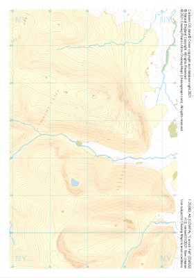
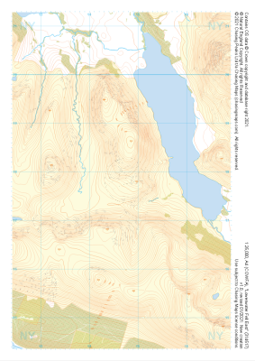 "Loweswater Fell East" Natural Features£4.99
1:25,000 scale map covering Loweswater Fell East in the Lake District (approx. center NY147178).
Learn More -
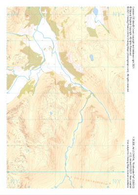
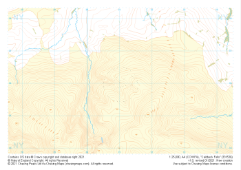
 "Honister Pass" Natural Features£4.99
1:25,000 scale map covering Honister Pass in the Lake District (approx. center NY221125).
Learn More -
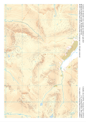
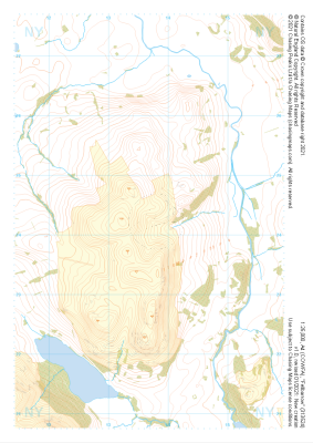
 "Rosthwaite Fell" Natural Features£4.99
1:25,000 scale map covering Rosthwaite Fell in the Lake District (approx. center NY264128).
Learn More -
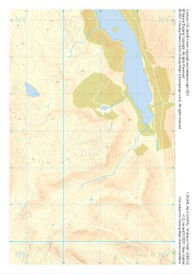 "Wythburn Fells" Natural Features£4.99
1:25,000 scale map covering Wythburn Fells in the Lake District (approx. center NY308128).
Learn More -
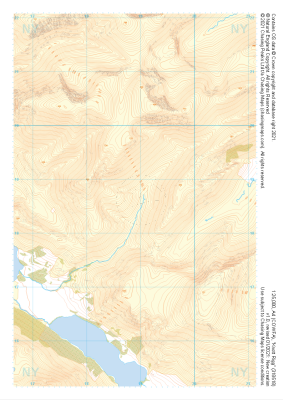 "Knott Rigg" Natural Features£4.99
1:25,000 scale map covering Knott Rigg in the Lake District (approx. center NY189186).
Learn More -
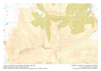 "Grisedale Pike" Natural Features£4.99
1:25,000 scale map covering Grisedale Pike in the Lake District (approx. center NY193231).
Learn More -
 "Fellbarrow" Natural Features£4.99
1:25,000 scale map covering Fellbarrow in the Lake District (approx. center NY137242).
Learn More -
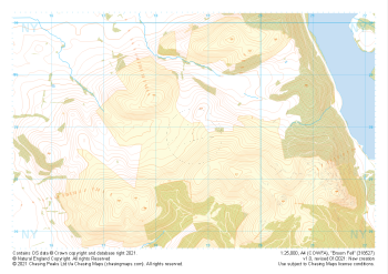 "Broom Fell" Natural Features£4.99
1:25,000 scale map covering Broom Fell in the Lake District (approx. center NY187279).
Learn More -
 "Carrock Fell" Natural Features£4.99
1:25,000 scale map covering Carrock Fell in the Lake District (approx. center NY342325).
Learn More -
 "Caldbeck Fells" Natural Features£4.99
1:25,000 scale map covering Caldbeck Fells in the Lake District (approx. center NY310361).
Learn More