Our "Natural Features" maps show the landforms (contours and rocky areas) in context of larger streams and forests. By providing a little more detail than our "Landform" or "Contour Only" range, these maps are slightly easier to use and especially good for teaching navigation by contours and land forms to those with limited experience in this area. This series also includes Access Land in England and Wales, as well as the customary national grid overlay to allow for effective bearing and grid reference work.
Natural Features
-
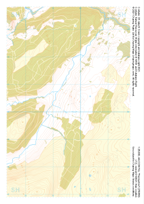
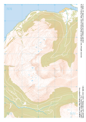 "Ballachulish SW" Natural Features£4.99
1:25,000 scale map covering Ballachulish SW in the Scottish Highlands (approx. center NN032566).
Learn More -
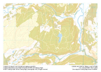
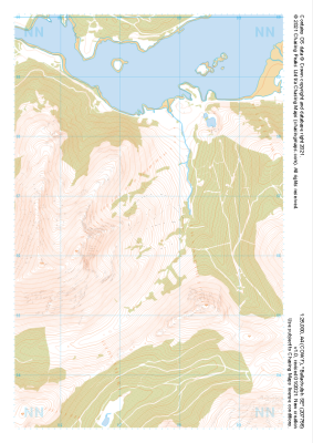 "Ballachulish SE" Natural Features£4.99
1:25,000 scale map covering Ballachulish SE in the Scottish Highlands (approx. center NN075566).
Learn More -
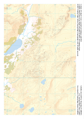 "Moel Meirch" Natural Features£4.99
1:25,000 scale map covering Moel Meirch in the North Wales (approx. center SH661511).
Learn More -
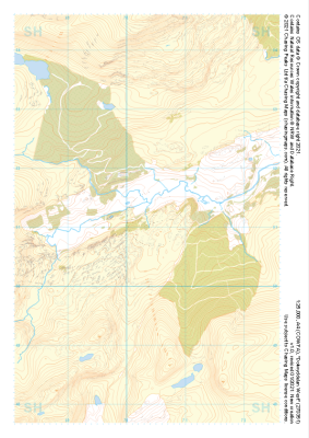 "Dolwyddelan West" Natural Features£4.99
1:25,000 scale map covering Dolwyddelan West in the North Wales (approx. center SH703511).
Learn More -
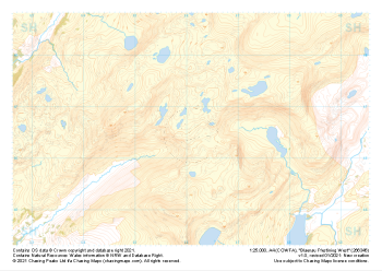 "Blaenau Ffestiniog West" Natural Features£4.99
1:25,000 scale map covering Blaenau Ffestiniog West in the North Wales (approx. center SH661466).
Learn More -
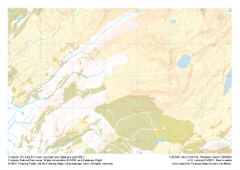 "Moelwyn Bach" Natural Features£4.99
1:25,000 scale map covering Moelwyn Bach in the North Wales (approx. center SH645438).
Learn More -
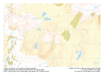 "Blaenau Ffestiniog East" Natural Features£4.99
1:25,000 scale map covering Blaenau Ffestiniog East in the North Wales (approx. center SH729456).
Learn More -
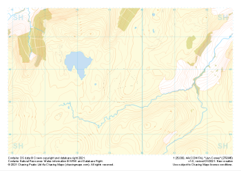 "Llyn Conwy" Natural Features£4.99
1:25,000 scale map covering Llyn Conwy in the North Wales (approx. center SH793456).
Learn More -
 "Penmachno" Natural Features£4.99
1:25,000 scale map covering Penmachno in the North Wales (approx. center SH796504).
Learn More -
 "Betws-y-coed" Natural Features£4.99
1:25,000 scale map covering Betws-y-coed in the North Wales (approx. center SH776554).
Learn More