Our "Natural Features" maps show the landforms (contours and rocky areas) in context of larger streams and forests. By providing a little more detail than our "Landform" or "Contour Only" range, these maps are slightly easier to use and especially good for teaching navigation by contours and land forms to those with limited experience in this area. This series also includes Access Land in England and Wales, as well as the customary national grid overlay to allow for effective bearing and grid reference work.
Natural Features
-
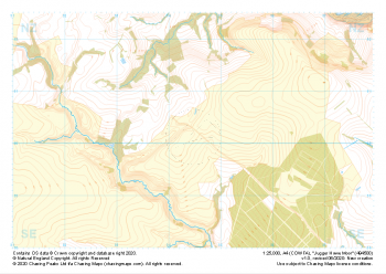 "Jugger Howe Moor" Natural Features£4.99
1:25,000 scale map covering Jugger Howe Moor in the North Yorkshire (approx. center NZ945003).
Learn More -
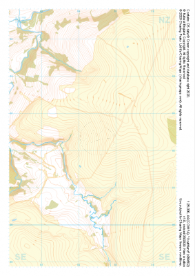 "Goathland" Natural Features£4.99
1:25,000 scale map covering Goathland in the North Yorkshire (approx. center NZ844023).
Learn More -
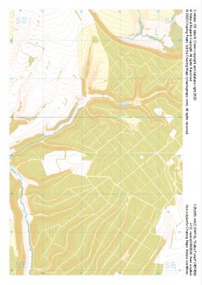 "Dalby Forest" Natural Features£4.99
1:25,000 scale map covering Dalby Forest in the North Yorkshire (approx. center SE874893).
Learn More -
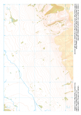 "Gellifor" Natural Features£4.99
1:25,000 scale map covering Gellifor in the North Wales (approx. center SJ123635).
Learn More -
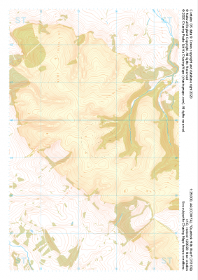 "Quantock Hills West" Natural Features£4.99
1:25,000 scale map covering Quantock Hills West in the South West (approx. center ST134395).
Learn More -
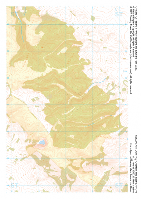 "Quantock Hills East" Natural Features£4.99
1:25,000 scale map covering Quantock Hills East in the South West (approx. center ST171372).
Learn More -
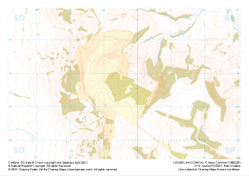 "Cleeve Common" Natural Features£4.99
1:25,000 scale map covering Cleeve Common in the South West (approx. center SO996257).
Learn More -
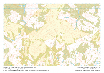 "Camp Hill" Natural Features£4.99
1:25,000 scale map covering Camp Hill in the South East (approx. center TQ469290).
Learn More -
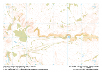 "Eurotunnel Terminal" Natural Features£4.99
1:25,000 scale map covering Eurotunnel Terminal in the South East (approx. center TR198382).
Learn More -
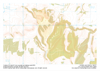 "QECP" Natural Features£4.99
1:25,000 scale map covering QECP in the South Downs (approx. center SU720192).
Learn More