Our "Natural Features" maps show the landforms (contours and rocky areas) in context of larger streams and forests. By providing a little more detail than our "Landform" or "Contour Only" range, these maps are slightly easier to use and especially good for teaching navigation by contours and land forms to those with limited experience in this area. This series also includes Access Land in England and Wales, as well as the customary national grid overlay to allow for effective bearing and grid reference work.
Natural Features
-
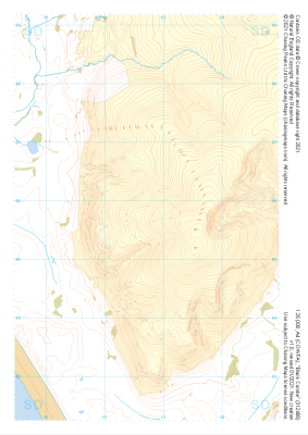 "Black Combe" Natural Features£4.99
1:25,000 scale map covering Black Combe in the Lake District (approx. center SD127857).
Learn More -
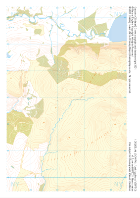
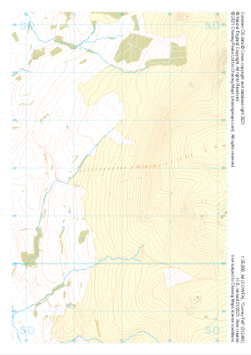 "Corney Fell" Natural Features£4.99
1:25,000 scale map covering Corney Fell in the Lake District (approx. center SD130918).
Learn More -
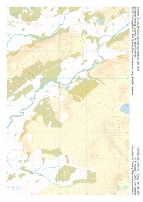 "Birkby Fell" Natural Features£4.99
1:25,000 scale map covering Birkby Fell in the Lake District (approx. center SD133972).
Learn More -
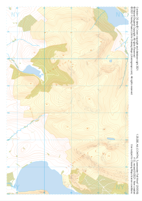
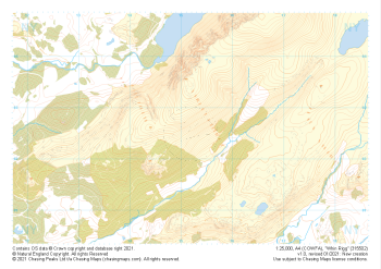 "Whin Rigg" Natural Features£4.99
1:25,000 scale map covering Whin Rigg in the Lake District (approx. center NY152026).
Learn More -
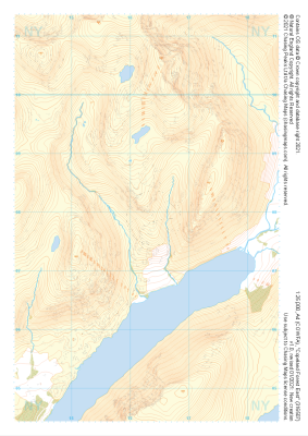 "Copeland Forest East" Natural Features£4.99
1:25,000 scale map covering Copeland Forest East in the Lake District (approx. center NY163079).
Learn More -
 "Copeland Forest West" Natural Features£4.99
1:25,000 scale map covering Copeland Forest West in the Lake District (approx. center NY119079).
Learn More -
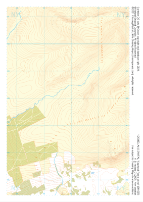
 "Stords" Natural Features£4.99
1:25,000 scale map covering Stords in the Lake District (approx. center NY073067).
Learn More -
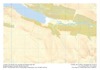 "Ennerdale Fell" Natural Features£4.99
1:25,000 scale map covering Ennerdale Fell in the Lake District (approx. center NY129131).
Learn More -
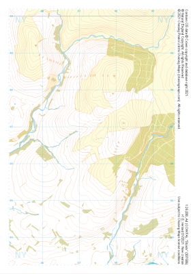
 "Lankrigg Moss" Natural Features£4.99
1:25,000 scale map covering Lankrigg Moss in the Lake District (approx. center NY073129).
Learn More -
 "Loweswater Fell West" Natural Features£4.99
1:25,000 scale map covering Loweswater Fell West in the Lake District (approx. center NY109185).
Learn More