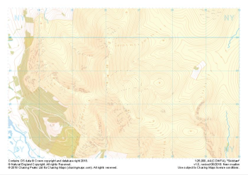
Our "Natural Features" maps show the landforms (contours and rocky areas) in context of larger streams and forests. By providing a little more detail than our "Landform" or "Contour Only" range, these maps are slightly easier to use and especially good for teaching navigation by contours and land forms to those with limited experience in this area. This series also includes Access Land in England and Wales, as well as the customary national grid overlay to allow for effective bearing and grid reference work.
Natural Features
-
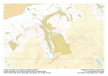 "Carneddau NW" Natural Features£4.99
1:25,000 scale map covering Carneddau NW in the North Wales (approx. center SH668716).
Learn More -
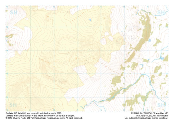 "Carneddau NE" Natural Features£4.99
1:25,000 scale map covering Carneddau NE in the North Wales (approx. center SH734727).
Learn More -
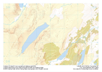 "Carneddau SW" Natural Features£4.99
1:25,000 scale map covering Carneddau SW in the North Wales (approx. center SH740626).
Learn More -
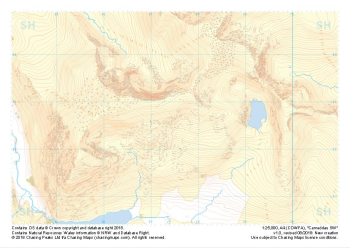 "Carneddau SE" Natural Features£4.99
1:25,000 scale map covering Carneddau SE in the North Wales (approx. center SH675627).
Learn More -
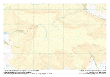 "Kinder Scout Central" Natural Features£4.99
1:25,000 scale map covering Kinder Scout Central in the Peak District (approx. center SK094880).
Learn More -
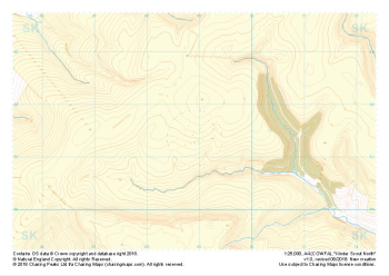 "Kinder Scout North" Natural Features£4.99
1:25,000 scale map covering Kinder Scout North in the Peak District (approx. center SK089914).
Learn More -
 "Kinder Scout South" Natural Features£4.99
1:25,000 scale map covering Kinder Scout South in the Peak District (approx. center SK084851).
Learn More -
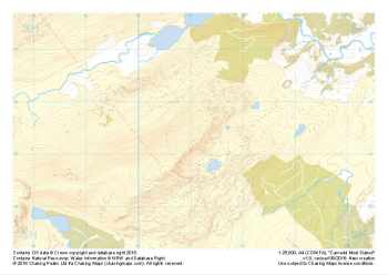 "Carnedd Moel Siabod" Natural Features£4.99
1:25,000 scale map covering Carnedd Moel Siabod in the North Wales (approx. center SH711554).
Learn More -
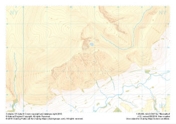 "Blencathra" Natural Features£4.99
1:25,000 scale map covering Blencathra in the Lake District (approx. center NY327275).
Learn More -
 "Skiddaw" Natural Features£4.99
1:25,000 scale map covering Skiddaw in the Lake District (approx. center NY265286).
Learn More