Our "Natural Features" maps show the landforms (contours and rocky areas) in context of larger streams and forests. By providing a little more detail than our "Landform" or "Contour Only" range, these maps are slightly easier to use and especially good for teaching navigation by contours and land forms to those with limited experience in this area. This series also includes Access Land in England and Wales, as well as the customary national grid overlay to allow for effective bearing and grid reference work.
Natural Features
-
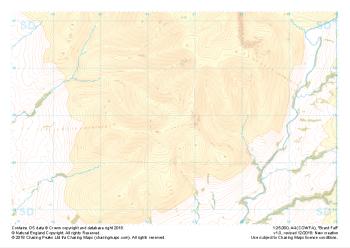
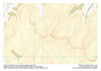 "Pen y Fan" Natural Features£4.99
1:25,000 scale map covering Pen y Fan in the South Wales (approx. center SO012216).
Learn More -
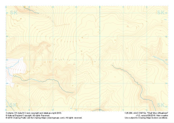 "Shelf Moor (Bleaklow)" Natural Features£4.99
1:25,000 scale map covering Shelf Moor (Bleaklow) in the Peak District (approx. center SK095949).
Learn More -
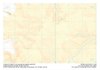 "Knott" Natural Features£4.99
1:25,000 scale map covering Knott in the Lake District (approx. center NY296330).
Learn More -
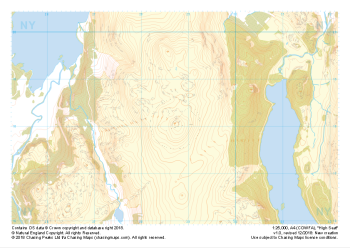 "High Seat" Natural Features£4.99
1:25,000 scale map covering High Seat in the Lake District (approx. center NY287181).
Learn More -
 "Green Bell" Natural Features£4.99
1:25,000 scale map covering Green Bell in the Yorkshire Dales (approx. center NY699011).
Learn More -
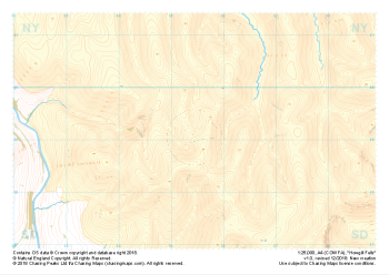
 "Brant Fell" Natural Features£4.99
1:25,000 scale map covering Brant Fell in the Yorkshire Dales (approx. center SD666948).
Learn More -
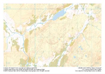 "Moel y Dyniewyd" Natural Features£4.99
1:25,000 scale map covering Moel y Dyniewyd in North Wales (approx. center SH612480).
Learn More -
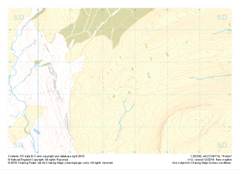
 "Howgill Fells" Natural Features£4.99
1:25,000 scale map covering Howgill Fells in the Yorkshire Dales (approx. center SD654990).
Learn More -
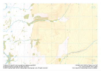 "Barbon Low Fell" Natural Features£4.99
1:25,000 scale map covering Barbon Low Fell in the Yorkshire Dales (approx. center SD649816).
Learn More -
 "Horton" Natural Features£4.99
1:25,000 scale map covering Horton in the Yorkshire Dales (approx. center SD825763).
Learn More