Our "Natural Features" maps show the landforms (contours and rocky areas) in context of larger streams and forests. By providing a little more detail than our "Landform" or "Contour Only" range, these maps are slightly easier to use and especially good for teaching navigation by contours and land forms to those with limited experience in this area. This series also includes Access Land in England and Wales, as well as the customary national grid overlay to allow for effective bearing and grid reference work.
Natural Features
-
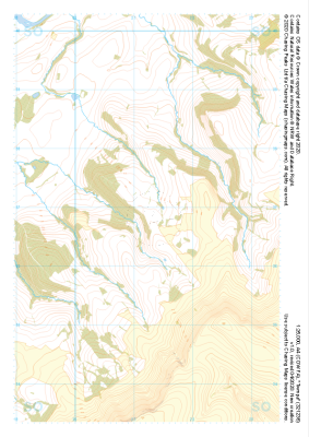 "Twmpa" Natural Features£4.99
1:25,000 scale map covering Twmpa in the South Wales (approx. center SO212367).
Learn More -
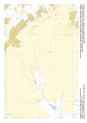 "Mynydd Llangynidr" Natural Features£4.99
1:25,000 scale map covering Mynydd Llangynidr in the South Wales (approx. center SO121143).
Learn More -
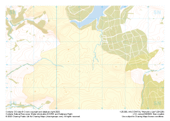 "Mynydd y Llan" Natural Features£4.99
1:25,000 scale map covering Mynydd y Llan in the South Wales (approx. center SN812262).
Learn More -
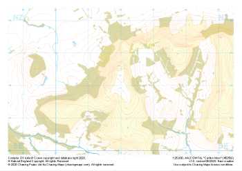 "Carlton Moor" Natural Features£4.99
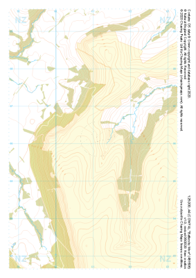
1:25,000 scale map covering Carlton Moor in the North Yorkshire (approx. center NZ520020).
Learn More -
 "Westerdale Moor" Natural Features£4.99
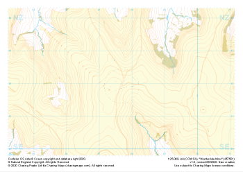
1:25,000 scale map covering Battersby Moor in the North Yorkshire (approx. center NZ610060).
Learn More -
 "Battersby Moor" Natural Features£4.99
1:25,000 scale map covering Westerdale Moor in the North Yorkshire (approx. center NZ677019).
Learn More -
 "Grassington Moor" Natural Features£4.99
1:25,000 scale map covering Grassington Moor in the North Yorkshire (approx. center SE023685).
Learn More -
 "Ilkley" Natural Features£4.99
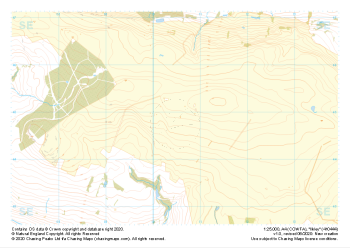
1:25,000 scale map covering Ilkley in the North Yorkshire (approx. center SE105448).
Learn More -
 "Lodge Moor" Natural Features£4.99
1:25,000 scale map covering Lodge Moor in the North Yorkshire (approx. center SE005743).
Learn More -
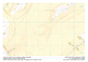 "Buckden" Natural Features£4.99
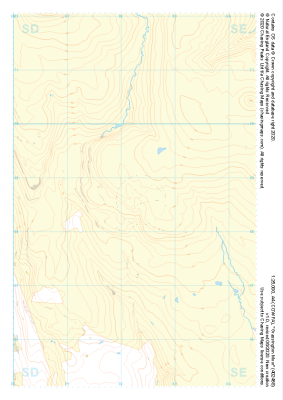
1:25,000 scale map covering Buckden in the North Yorkshire (approx. center SD975793).
Learn More