Our "Natural Features" maps show the landforms (contours and rocky areas) in context of larger streams and forests. By providing a little more detail than our "Landform" or "Contour Only" range, these maps are slightly easier to use and especially good for teaching navigation by contours and land forms to those with limited experience in this area. This series also includes Access Land in England and Wales, as well as the customary national grid overlay to allow for effective bearing and grid reference work.
Natural Features
-
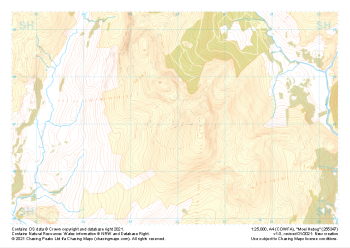 "Moel Hebog" Natural Features£4.99
1:25,000 scale map covering Moel Hebog in the North Wales (approx. center SH559471).
Learn More -
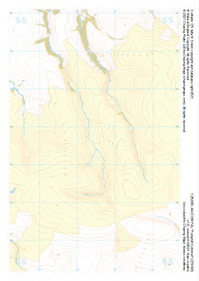
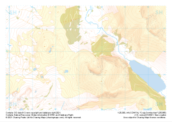 "Craig Cwmbychan" Natural Features£4.99
1:25,000 scale map covering Craig Cwmbychan in the North Wales (approx. center SH533557).
Learn More -
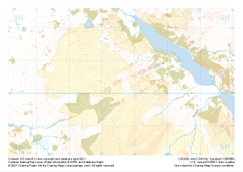 "Llanberis" Natural Features£4.99
1:25,000 scale map covering Llanberis in the North Wales (approx. center SH556603).
Learn More -
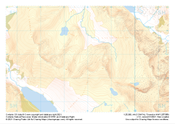 "Snowdon NW" Natural Features£4.99
1:25,000 scale map covering Snowdon NW in the North Wales (approx. center SH580568).
Learn More -
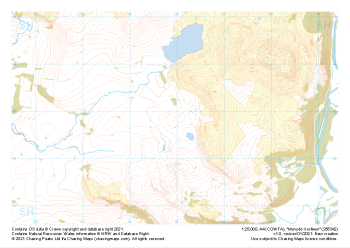 "Mynydd Gorllwyn" Natural Features£4.99
1:25,000 scale map covering Mynydd Gorllwyn in the North Wales (approx. center SH560429).
Learn More -
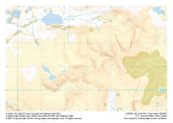 "Cwm Silyn" Natural Features£4.99
1:25,000 scale map covering Cwm Silyn in the North Wales (approx. center SH530513).
Learn More -
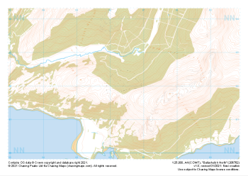 "Ballachulish North" Natural Features£4.99
1:25,000 scale map covering Ballachulish North in the Scottish Highlands (approx. center NN064621).
Learn More -
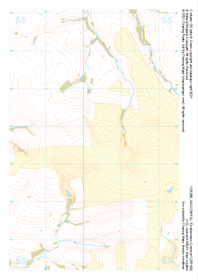 "Challacombe Common" Natural Features£4.99
1:25,000 scale map covering Challacombe Common in the South West (approx. center SS703436).
Learn More -
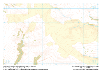 "Squallacombe" Natural Features£4.99
1:25,000 scale map covering Squallacombe in the South West (approx. center SS726381).
Learn More -
 "Furzehill Common" Natural Features£4.99
1:25,000 scale map covering Furzehill Common in the South West (approx. center SS745436).
Learn More