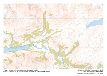
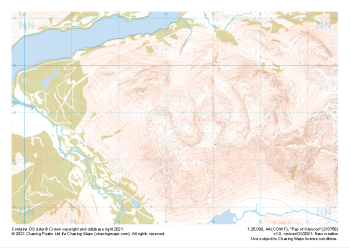
Our "Natural Features" maps show the landforms (contours and rocky areas) in context of larger streams and forests. By providing a little more detail than our "Landform" or "Contour Only" range, these maps are slightly easier to use and especially good for teaching navigation by contours and land forms to those with limited experience in this area. This series also includes Access Land in England and Wales, as well as the customary national grid overlay to allow for effective bearing and grid reference work.
Natural Features
-
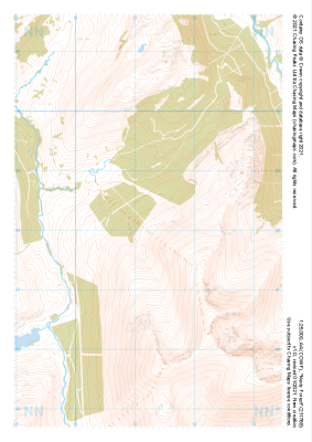
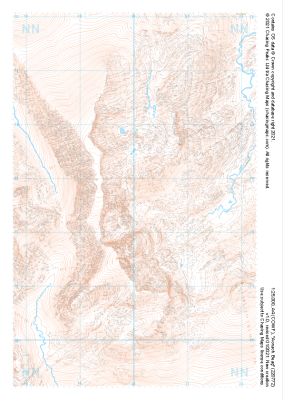
 "Creag Meagaidh West" Natural Features£4.99
1:25,000 scale map covering Creag Meagaidh West in the Scottish Highlands (approx. center NN379851).
Learn More -
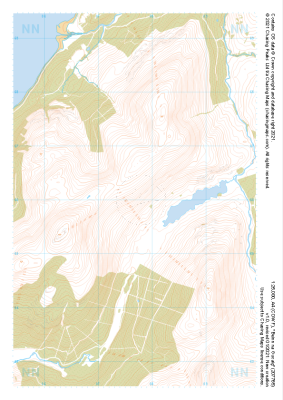
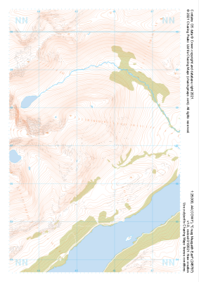 "Creag Meagaidh East" Natural Features£4.99
1:25,000 scale map covering Creag Meagaidh East in the Scottish Highlands (approx. center NN455871).
Learn More -
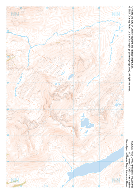
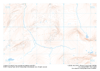 "Braeroy Forest South" Natural Features£4.99
1:25,000 scale map covering Braeroy Forest South in the Scottish Highlands (approx. center NN390895).
Learn More -
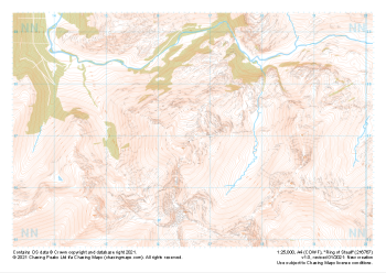 "Ring of Steall" Natural Features£4.99
1:25,000 scale map covering Ring of Steall in the Scottish Highlands (approx. center NN167671).
Learn More -
 "Nevis Forest" Natural Features£4.99
1:25,000 scale map covering Nevis Forest in the Scottish Highlands (approx. center NN112682).
Learn More -
 "Beinn na Gucaig" Natural Features£4.99
1:25,000 scale map covering Beinn na Gucaig in the Scottish Highlands (approx. center NN077660).
Learn More -
 "Aonach Beag" Natural Features£4.99
1:25,000 scale map covering Aonach Beag in the Scottish Highlands (approx. center NN200726).
Learn More -
 "Binnein Mor" Natural Features£4.99
1:25,000 scale map covering Binnein Mor in the Scottish Highlands (approx. center NN217665).
Learn More -
 "Kinlochleven" Natural Features£4.99
1:25,000 scale map covering Kinlochleven in the Scottish Highlands (approx. center NN196628).
Learn More -
 "Pap of Glencoe" Natural Features£4.99
1:25,000 scale map covering Pap of Glencoe in the Scottish Highlands (approx. center NN132589).
Learn More