Our "Natural Features" maps show the landforms (contours and rocky areas) in context of larger streams and forests. By providing a little more detail than our "Landform" or "Contour Only" range, these maps are slightly easier to use and especially good for teaching navigation by contours and land forms to those with limited experience in this area. This series also includes Access Land in England and Wales, as well as the customary national grid overlay to allow for effective bearing and grid reference work.
Natural Features
-
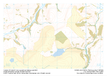 "Bell House Moor" Natural Features£4.99
1:25,000 scale map covering Bell House Moor in the Midlands (approx. center SD977241).
Learn More -
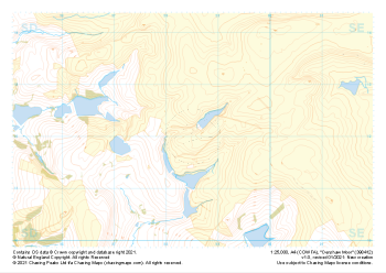
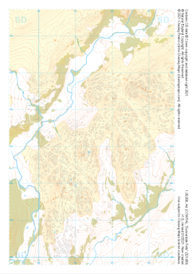
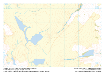 "Sowland Moor" Natural Features£4.99
1:25,000 scale map covering Sowland Moor in the Midlands (approx. center SD982201).
Learn More -
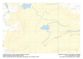 "Rishworth Moor" Natural Features£4.99
1:25,000 scale map covering Rishworth Moor in the Midlands (approx. center SD985163).
Learn More -
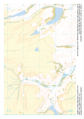 "Deanhead" Natural Features£4.99
1:25,000 scale map covering Deanhead in the Midlands (approx. center SE040134).
Learn More -
 "Denshaw Moor" Natural Features£4.99
1:25,000 scale map covering Denshaw Moor in the Midlands (approx. center SD985121).
Learn More -
 "White Moor" Natural Features£4.99
1:25,000 scale map covering White Moor in the Midlands (approx. center SD846437).
Learn More -
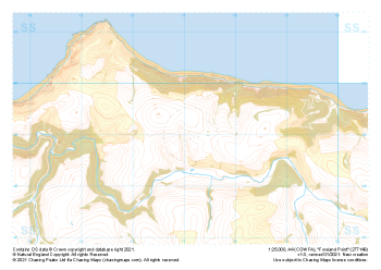 "Foreland Point" Natural Features£4.99
1:25,000 scale map covering Foreland Point in the South West (approx. center SS771491).
Learn More -
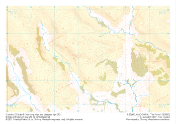 "The Forest" Natural Features£4.99
1:25,000 scale map covering The Forest in the Lake District (approx. center NY534029).
Learn More -
 "Dunnerdale Fells" Natural Features£4.99
1:25,000 scale map covering Dunnerdale Fells in the Lake District (approx. center SD214933).
Learn More -
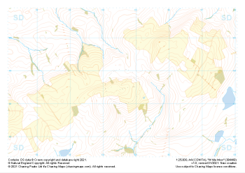
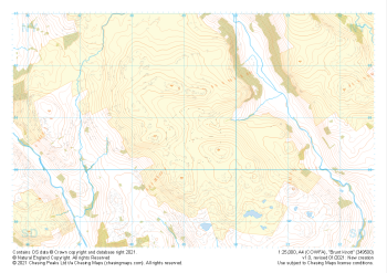 "Brunt Knott" Natural Features£4.99
1:25,000 scale map covering Brunt Knott in the Lake District (approx. center NY492008).
Learn More