Our "Natural Features" maps show the landforms (contours and rocky areas) in context of larger streams and forests. By providing a little more detail than our "Landform" or "Contour Only" range, these maps are slightly easier to use and especially good for teaching navigation by contours and land forms to those with limited experience in this area. This series also includes Access Land in England and Wales, as well as the customary national grid overlay to allow for effective bearing and grid reference work.
Natural Features
-
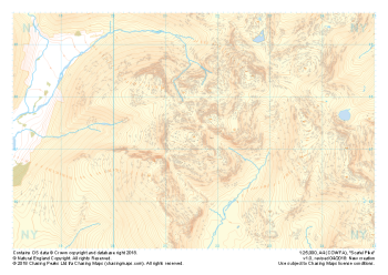 "Scafell Pike" Natural Features£4.99
1:25,000 scale map covering Scafell Pike in the Lake District (approx. center NY215075).
The highest summit in England sits within the beautiful western fells of the Lake District National Park.
Learn More -
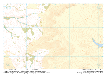 "Dragon Back" Natural Features£4.99
1:25,000 scale map covering the Dragon's Back in the Brecon Beacons (approx. center SO175305).
Known as Y Grib, the small but defined ridge of the Dragon's Back rises up onto the plateau of the Black Mountains.
Learn More -
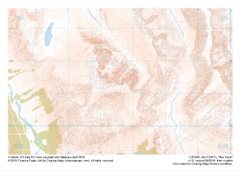 "Ben Nevis / Beinn Nibheis" Natural Features£4.99
1:25,000 scale map covering Ben Nevis in the Scottish Highlands (approx. center NN165715).
The UK's highest mountain not only forms part of the national 3 peaks challenge but also boasts one of the most challenging descents in poor weather off any "easily walkable" mountain on our isles.
Learn More -
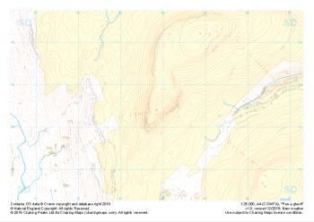 "Pen-y-ghent" Natural Features£4.99
1:25,000 scale map covering Pen-y-ghent in the Yorkshire Dales (approx. center SD839734).
Learn More -
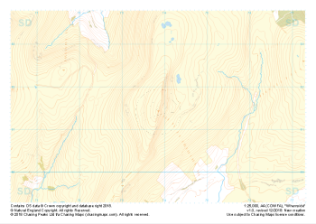 "Whernside" Natural Features£4.99
1:25,000 scale map covering Whernside in the Yorkshire Dales (approx. center SD738814).
Learn More -
 "Ingleborough" Natural Features£4.99
1:25,000 scale map covering Ingleborough in the Yorkshire Dales (approx. center SD741746).
Learn More -
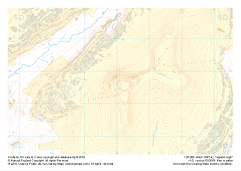
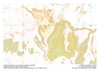 "QECP" Natural Features£4.99
1:25,000 scale map covering QECP in the South Downs (approx. center SU720192).
Learn More -
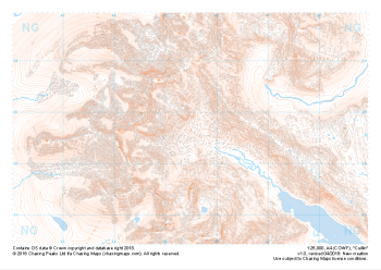 "Cuillin" Natural Features£4.99
1:25,000 scale map covering the famous Cuillin Ridge on the Isle of Skye (approx. center NG455225).
Boasting some of the most remote mountaineous terrain in the UK, the Cuillin Hills are described by some as the Pyrenneas of the North. Should you be lucky enough to find them on a very rare rain, mist and midge free day, they can truly feel like an outing in the Italian Alps. On any other day this complex terrain is not for the faint hearted and almost all approaches to the significant peaks will require a very good head for heights and well above average mountaineering and navigation skills.
Learn More -
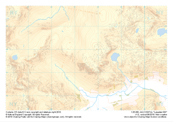 "Langdale NW" Natural Features£4.99
1:25,000 scale map covering Langdale's North West corner (approx. center NY275075).
Known for its stunning countryside, tricky navigational terrain and beautiful wild camping spots, the Langdale Fells provide a true mountain adventure for every type of explorer.
Learn More -
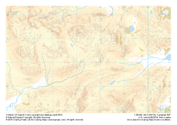 "Langdale SW" Natural Features£4.99
1:25,000 scale map covering Langdale's North West corner (approx. center NY275075).
Known for its stunning countryside, tricky navigational terrain and beautiful wild camping spots, the Langdale Fells provide a true mountain adventure for every type of explorer.
Learn More