Lake District
-
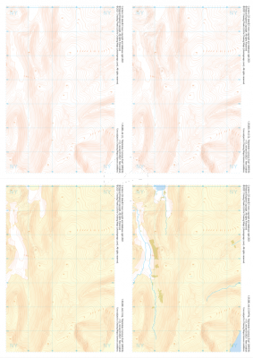 "Martindale Common East" Collection£9.99
1:25,000 scale map covering Martindale Common East in the Lake District (approx. center NY453166).
Learn More -
 "Yoke" Collection£10.99
1:25,000 scale map covering Yoke in the Lake District (approx. center NY438060).
Learn More -
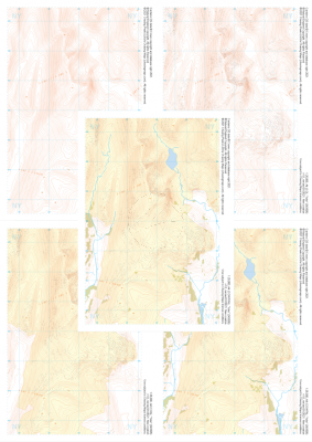
 "Sadgill" Collection£9.99
1:25,000 scale map covering Sadgill in the Lake District (approx. center NY480060).
Learn More -
 "Shap Fells South" Collection£10.99
1:25,000 scale map covering Shap Fells South in the Lake District (approx. center NY534071).
Learn More -
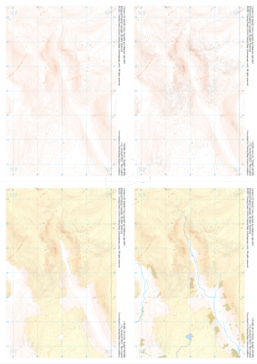
 "Scafell Pike" Collection£9.99
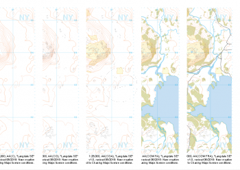
Our full set of 1:25,000 scale maps covering Scafell Pike in the Lake District (approx. center NY215075).
The highest summit in England sits within the beautiful western fells of the Lake District National Park.
Learn More -
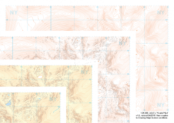
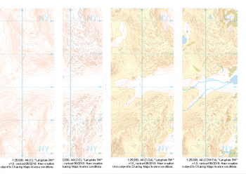
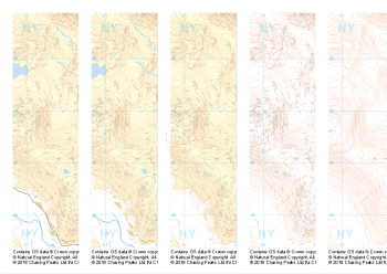
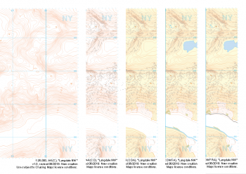 "Langdale NW" Collection£10.99
Our full set of 1:25,000 scale maps covering Langdale's North West corner (approx. center NY275075).
Known for its stunning countryside, tricky navigational terrain and beautiful wild camping spots, the Langdale Fells provide a true mountain adventure for every type of explorer.
Learn More -
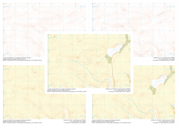
 "Langdale SW" Collection£9.99
1:25,000 scale map covering Langdale's North West corner (approx. center NY275035).
Known for its stunning countryside, tricky navigational terrain and beautiful wild camping spots, the Langdale Fells provide a true mountain adventure for every type of explorer.
Learn More -
 "Langdale NE" Collection£10.99
Our full set of 1:25,000 scale maps covering Langdale's North East corner (approx. center NY345075).
Known for its stunning countryside, tricky navigational terrain and beautiful wild camping spots, the Langdale Fells provide a true mountain adventure for every type of explorer.
Learn More -
 "Langdale SE" Collection£10.99
Our full set of 1:25,000 scale maps covering Langdale's South East corner (approx. center NY345035).
Known for its stunning countryside, tricky navigational terrain and beautiful wild camping spots, the Langdale Fells provide a true mountain adventure for every type of explorer.
Learn More -
 "Helvellyn" Collection£10.99
Our full set of 1:25,000 scale maps covering Helvellyn (approx. center NY354155).
Helvellyn stands as one of the best known peaks in the Lake District National Park. Home to the stunning horseshoe comprising the classic scrambles of Swirral Edge and Striding Edge as well as the Lake District Fell Top Assessors during the winter months providing the mountain community with vital updates on ground conditions for the wider area. While she can be beautiful and calm in any season she is also known to show her teeth and accidents on the edges are frequent, especially in the winter months.
Learn More