"Helvellyn" Collection
Delivery time:
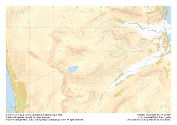
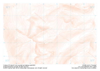
Our full set of 1:25,000 scale maps covering Helvellyn (approx. center NY354155).
Helvellyn stands as one of the best known peaks in the Lake District National Park. Home to the stunning horseshoe comprising the classic scrambles of Swirral Edge and Striding Edge as well as the Lake District Fell Top Assessors during the winter months providing the mountain community with vital updates on ground conditions for the wider area. While she can be beautiful and calm in any season she is also known to show her teeth and accidents on the edges are frequent, especially in the winter months.
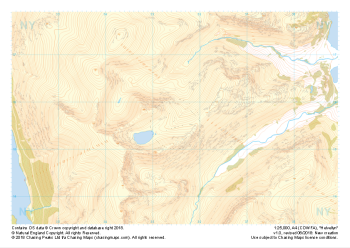
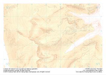
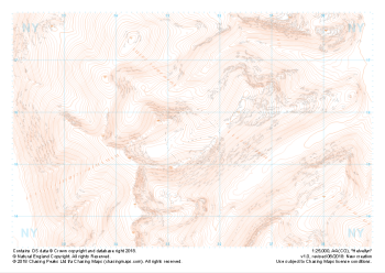
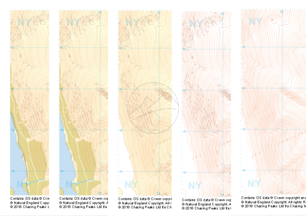
This is a digital product and will be supplied as downloadable PDF files directly within your account on our shop. As with all of our digital print supply products, this one is supplied in two versions, a standard contrast and high contrast version. Which of these you should use is entirely up to you and will depend on your method of use. We find that the high contrast version works better on digital devices and ink based printers, while the normal contrast version tends to work better with laser printers.
All of our maps come with a free personal use license, allowing you to print the maps as often as you like, as long as you only hold two printed copies at any time. Take a look at our licensing section to learn more about the do's and dont's of the personal use license and the other options available.
| Size | A4 |
|---|---|
| Map Scale | 1:25,000 |
| Contour Interval | 10m |
| Design Type | Contour Mapping, Collection |
| Included Features | Collection of Styles |