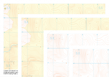
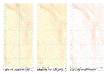
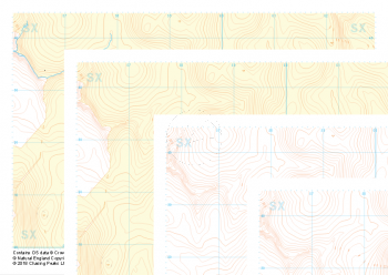
Mapping Sets
-
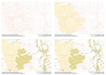
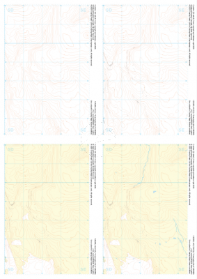 "Grassington Moor" Collection£9.99
1:25,000 scale map covering Grassington Moor in the North Yorkshire (approx. center SE023685).
Learn More -
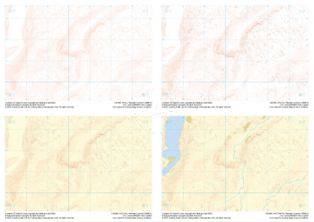
 "Ilkley" Collection£9.99
1:25,000 scale map covering Ilkley in the North Yorkshire (approx. center SE105448).
Learn More -
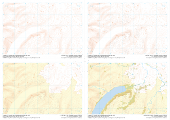
 "Lodge Moor" Collection£9.99
1:25,000 scale map covering Lodge Moor in the North Yorkshire (approx. center SE005743).
Learn More -
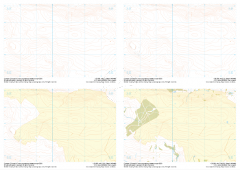
 "Gellifor" Collection£9.99
1:25,000 scale map covering Gellifor in the North Wales (approx. center SJ123635).
Learn More -
 "Moel Famau South" Collection£9.99
1:25,000 scale map covering Moel Famau South in the North Wales (approx. center SJ175623).
Learn More -
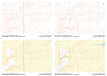
 "Mardale Common" Collection£9.99
1:25,000 scale map covering Mardale Common in the Lake District (approx. center NY505113).
Learn More -
 "Bampton Common" Collection£9.99
1:25,000 scale map covering Bampton Common in the Lake District (approx. center NY505158).
Learn More -
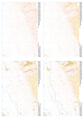
 "Merrivale" Collection£9.99
Our full set of 1:25,000 scale maps covering the area of the Merrivale Range on Dartmoor (approx. center SX590785).
The area of the Merrivale Range on Dartmoor lies to the South of the large expanse of the Okehampton Range. Here, exploring the remains of ancient settlements can provide a welcome distraction from boggy ground and seemingly identical landscape over every mound. Perfectly suited to provide even the most skilled mountain navigator with a tough challenge, there is a very good reason the MoD trains our country's soldiers on Dartmoor in the dark art of navigating.
Live firing and exercise times are published by the MoD and a quick search for "Dartmoor firing times" should form part of your planning in this area. On the ground red flags by day and red lights at night will show the range is being used for live firing and it is in your best interest to not cross and indeed steer well clear of the line of red and white marker posts.
Learn More -
 "Okehampton Central" Collection£8.99
Our full set of 1:25,000 scale maps covering the Central section of Dartmoor's Okehampton Range (approx. center SX593865).
The Central section of Dartmoor's Okehampton Range, the largest of the Dartmoor live firing ranges. Spanning 11km by 8km the Okehampton training area offers a perfect mix of established paths, granite tors, rolling hills, bumbling streams, ancient structures and (away from the paths) blissful quiet. Coupled with some of the most challenging, largely "featureless" navigation terrain around, the ranges have been known to test the most seasoned navigators' toolboxes.
Live firing and exercise times are published by the MoD and a quick search for "Dartmoor firing times" should form part of your planning in this area. On the ground red flags by day and red lights at night will show the range is being used for live firing and it is in your best interest to not cross and indeed steer well clear of the line of red and white marker posts.
Learn More -
 "Okehampton South" Collection£9.99
Our full set of 1:25,000 scale maps covering the South section of Dartmoor's Okehampton Range (approx. center SX594821).
The South section of Dartmoor's Okehampton Range, the largest of the Dartmoor live firing ranges. Spanning 11km by 8km the Okehampton training area offers a perfect mix of established paths, granite tors, rolling hills, bumbling streams, ancient structures and (away from the paths) blissful quiet. Coupled with some of the most challenging, largely "featureless" navigation terrain around, the ranges have been known to test the most seasoned navigators' toolboxes.
Live firing and exercise times are published by the MoD and a quick search for "Dartmoor firing times" should form part of your planning in this area. On the ground red flags by day and red lights at night will show the range is being used for live firing and it is in your best interest to not cross and indeed steer well clear of the line of red and white marker posts.
Learn More