"Merrivale" Collection
Delivery time:
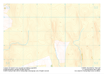
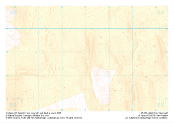
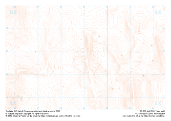
Our full set of 1:25,000 scale maps covering the area of the Merrivale Range on Dartmoor (approx. center SX590785).
The area of the Merrivale Range on Dartmoor lies to the South of the large expanse of the Okehampton Range. Here, exploring the remains of ancient settlements can provide a welcome distraction from boggy ground and seemingly identical landscape over every mound. Perfectly suited to provide even the most skilled mountain navigator with a tough challenge, there is a very good reason the MoD trains our country's soldiers on Dartmoor in the dark art of navigating.
Live firing and exercise times are published by the MoD and a quick search for "Dartmoor firing times" should form part of your planning in this area. On the ground red flags by day and red lights at night will show the range is being used for live firing and it is in your best interest to not cross and indeed steer well clear of the line of red and white marker posts.
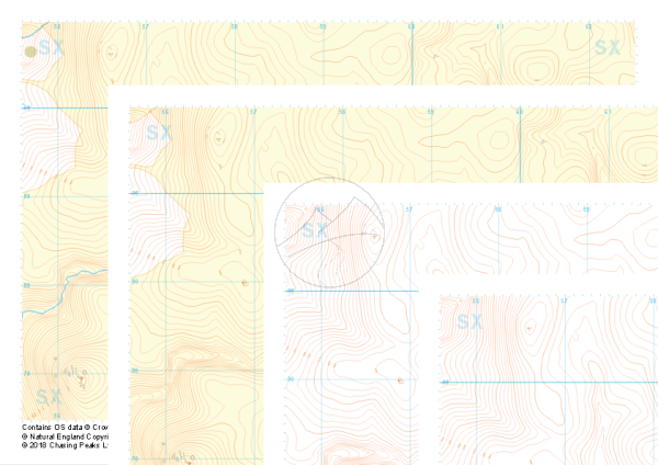
This is a digital product and will be supplied as downloadable PDF files directly within your account on our shop. As with all of our digital print supply products, this one is supplied in two versions, a standard contrast and high contrast version. Which of these you should use is entirely up to you and will depend on your method of use. We find that the high contrast version works better on digital devices and ink based printers, while the normal contrast version tends to work better with laser printers.
All of our maps come with a free personal use license, allowing you to print the maps as often as you like, as long as you only hold two printed copies at any time. Take a look at our licensing section to learn more about the do's and dont's of the personal use license and the other options available.
| Size | A4 |
|---|---|
| Map Scale | 1:25,000 |
| Contour Interval | 10m |
| Design Type | Contour Mapping, Collection |
| Included Features | Collection of Styles |