Contour Mapping
-
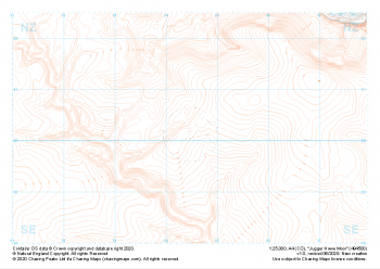 "Jugger Howe Moor" Landform£4.99
1:25,000 scale map covering Jugger Howe Moor in the North Yorkshire (approx. center NZ945003).
Learn More -
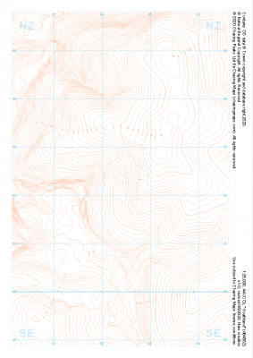 "Goathland" Landform£4.99
1:25,000 scale map covering Goathland in the North Yorkshire (approx. center NZ844023).
Learn More -
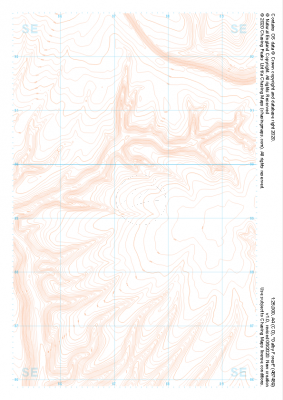 "Dalby Forest" Landform£4.99
1:25,000 scale map covering Dalby Forest in the North Yorkshire (approx. center SE874893).
Learn More -
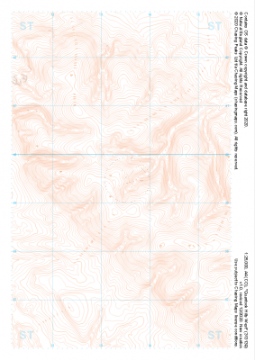 "Quantock Hills West" Landform£4.99
1:25,000 scale map covering Quantock Hills West in the South West (approx. center ST134395).
Learn More -
 "Camp Hill" Landform£4.99
1:25,000 scale map covering Camp Hill in the South East (approx. center TQ469290).
Learn More -
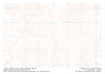
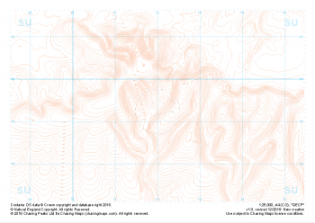 "QECP" Landform£4.99
1:25,000 scale map covering QECP in the South Downs (approx. center SU720192).
Learn More -
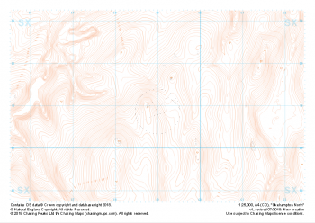 "Okehampton North" Landform£4.99
1:25,000 scale map covering the North section of Dartmoor's Okehampton Range (approx. center SX589908).
The North section of Dartmoor's Okehampton Range, the largest of the Dartmoor live firing ranges. Spanning 11km by 8km the Okehampton training area offers a perfect mix of established paths, granite tors, rolling hills, bumbling streams, ancient structures and (away from the paths) blissful quiet. Coupled with some of the most challenging, largely "featureless" navigation terrain around, the ranges have been known to test the most seasoned navigators' toolboxes.
Live firing and exercise times are published by the MoD and a quick search for "Dartmoor firing times" should form part of your planning in this area. On the ground red flags by day and red lights at night will show the range is being used for live firing and it is in your best interest to not cross and indeed steer well clear of the line of red and white marker posts.
Learn More -
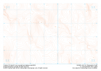 "Okehampton South" Landform£4.99
1:25,000 scale map covering the South section of Dartmoor's Okehampton Range (approx. center SX594821).
The South section of Dartmoor's Okehampton Range, the largest of the Dartmoor live firing ranges. Spanning 11km by 8km the Okehampton training area offers a perfect mix of established paths, granite tors, rolling hills, bumbling streams, ancient structures and (away from the paths) blissful quiet. Coupled with some of the most challenging, largely "featureless" navigation terrain around, the ranges have been known to test the most seasoned navigators' toolboxes.
Live firing and exercise times are published by the MoD and a quick search for "Dartmoor firing times" should form part of your planning in this area. On the ground red flags by day and red lights at night will show the range is being used for live firing and it is in your best interest to not cross and indeed steer well clear of the line of red and white marker posts.
Learn More -
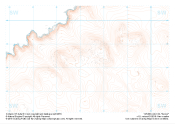 "Zennor" Landform£4.99
1:25,000 scale map covering Zennor in the South West (approx. center SW473382).
Learn More -
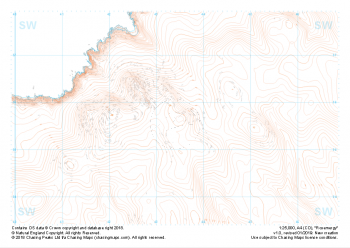 "Rosemergy" Landform£4.99
1:25,000 scale map covering Rosemergy in the South West (approx. center SW434355).
Learn More