"Okehampton South" Landform
Delivery time:
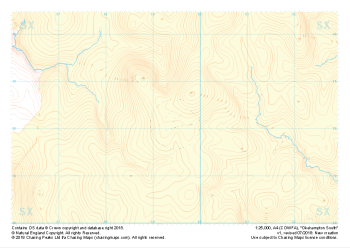
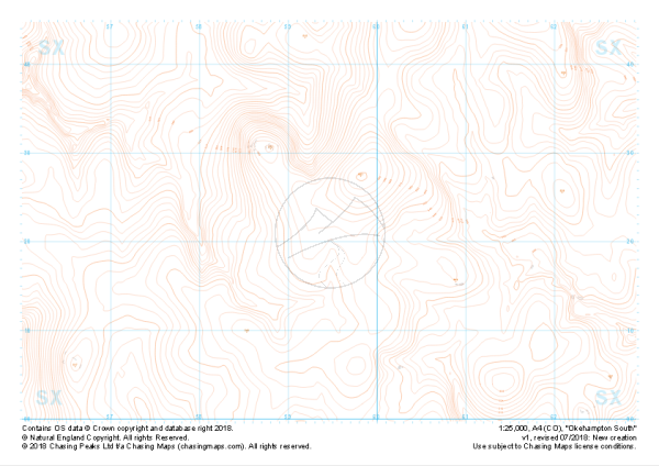
1:25,000 scale map covering the South section of Dartmoor's Okehampton Range (approx. center SX594821).
The South section of Dartmoor's Okehampton Range, the largest of the Dartmoor live firing ranges. Spanning 11km by 8km the Okehampton training area offers a perfect mix of established paths, granite tors, rolling hills, bumbling streams, ancient structures and (away from the paths) blissful quiet. Coupled with some of the most challenging, largely "featureless" navigation terrain around, the ranges have been known to test the most seasoned navigators' toolboxes.
Live firing and exercise times are published by the MoD and a quick search for "Dartmoor firing times" should form part of your planning in this area. On the ground red flags by day and red lights at night will show the range is being used for live firing and it is in your best interest to not cross and indeed steer well clear of the line of red and white marker posts.
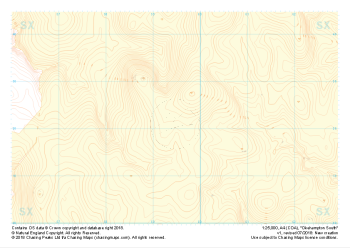
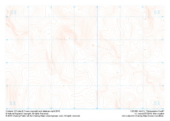
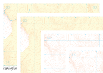
The map features our "Landform" features and symbology, complete with:
- Labeled contours
- Rocky outcrops and crags
This is a digital product and will be supplied as downloadable PDF files directly within your account on our shop. As with all of our digital print supply products, this one is supplied in two versions, a standard contrast and high contrast version. Which of these you should use is entirely up to you and will depend on your method of use. We find that the high contrast version works better on digital devices and ink based printers, while the normal contrast version tends to work better with laser printers.
All of our maps come with a free personal use license, allowing you to print the maps as often as you like, as long as you only hold two printed copies at any time. Take a look at our licensing section to learn more about the do's and dont's of the personal use license and the other options available.
| Size | A4 |
|---|---|
| Map Scale | 1:25,000 |
| Contour Interval | 5m |
| Design Type | Contour Mapping, Landform |
| Included Features | Contours and Labels, Rocky Features |