Contour Mapping
-
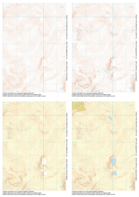
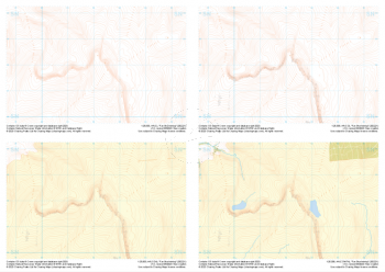
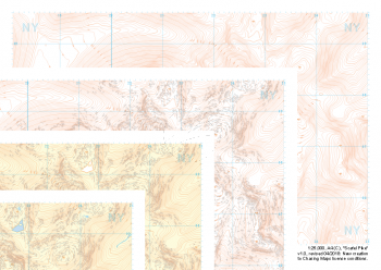 "Scafell Pike" Collection£9.99
Our full set of 1:25,000 scale maps covering Scafell Pike in the Lake District (approx. center NY215075).
The highest summit in England sits within the beautiful western fells of the Lake District National Park.
Learn More -
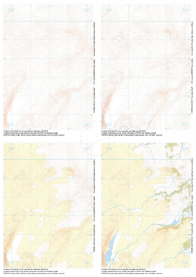
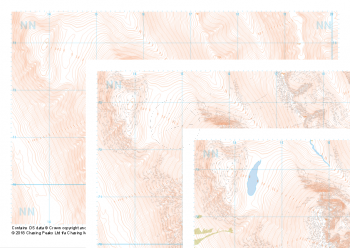 "Ben Nevis / Beinn Nibheis" Collection£8.99
Our full set of 1:25,000 scale maps covering Ben Nevis in the Scottish Highlands (approx. center NN165715).
The UK's highest mountain not only forms part of the national 3 peaks challenge but also boasts one of the most challenging descents in poor weather off any "easily walkable" mountain on our isles.
Learn More -
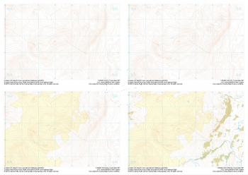
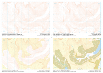
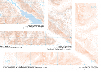 "Cuillin" Collection£8.99
Our full set of 1:25,000 scale maps covering the famous Cuillin Ridge on the Isle of Skye (approx. center NG455225).
Boasting some of the most remote mountaineous terrain in the UK, the Cuillin Hills are described by some as the Pyrenneas of the North. Should you be lucky enough to find them on a very rare rain, mist and midge free day, they can truly feel like an outing in the Italian Alps. On any other day this complex terrain is not for the faint hearted and almost all approaches to the significant peaks will require a very good head for heights and well above average mountaineering and navigation skills.
Learn More -
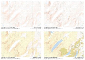
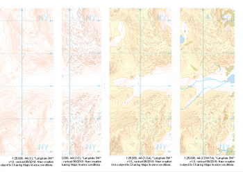 "Langdale SW" Collection£9.99
1:25,000 scale map covering Langdale's North West corner (approx. center NY275035).
Known for its stunning countryside, tricky navigational terrain and beautiful wild camping spots, the Langdale Fells provide a true mountain adventure for every type of explorer.
Learn More -
 "Carneddau Central" Collection£9.99
1:25,000 scale map covering Carneddau Central in the North Wales (approx. center SH693677).
Learn More -
 "Carneddau East" Collection£9.99
1:25,000 scale map covering Carneddau East in the North Wales (approx. center SH739675).
Learn More -
 "Carneddau NE" Collection£9.99
1:25,000 scale map covering Carneddau NE in the North Wales (approx. center SH734727).
Learn More -
 "Carneddau SW" Collection£9.99
1:25,000 scale map covering Carneddau SW in the North Wales (approx. center SH740626).
Learn More -
 "Fan Brycheiniog" Collection£9.99
1:25,000 scale map covering Fan Brycheiniog in the South Wales (approx. center SN821219).
Learn More -
 "Allt Lwyd" Collection£9.99
1:25,000 scale map covering Allt Lwyd in the South Wales (approx. center SO066175).
Learn More