Contour Mapping
-
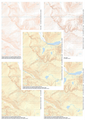
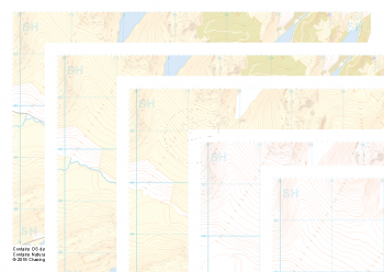 "Crimpiau and Capel Curig" Collection£10.99
Our full set of 1:25,000 scale maps covering the area around Crimpiau and Capel Curig in North Wales (approx. center SH735595).
Crimpiau near Capel Curig is perfectly suited to mountain navigation and micro navigation training. Thanks to its complexity, the area is used frequently by instructors and centres in the area, including the national mountain centre and the forces adventurous training unit.
Learn More -
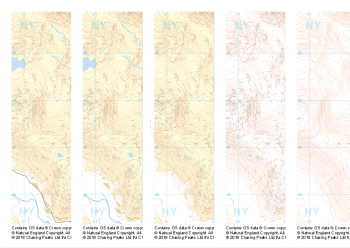
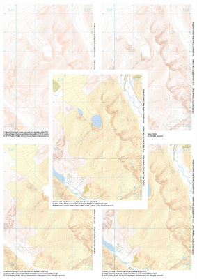
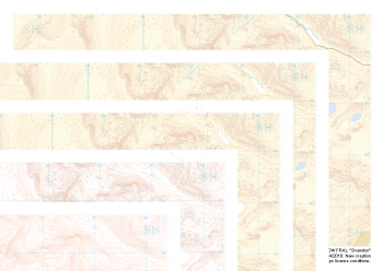 "Snowdon / Yr Wyddfa" Collection£10.99
Our full set of 1:25,000 scale maps covering Snowdon in North Wales (approx. center SH605545).
Yr Wyddfa as she is known in Welsh is the most summited mountain in Great Britain and one of the busiest summits in Europe. An integral part of the national and Welsh three peaks challenge as well as the Welsh 3000s challenge the area is well known by many walkers.
Away from the well trodden paths used by thousands each year the area boasts some true hidden gems and challenges for all levels of navigators, right up to the experts.
Learn More -
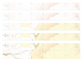 "Dragon Back" Collection£10.99
Our full set of 1:25,000 scale maps covering the Dragon's Back in the Brecon Beacons (approx. center SO175305).
Known as Y Grib, the small but defined ridge of the Dragon's Back rises up onto the plateau of the Black Mountains.
Learn More -
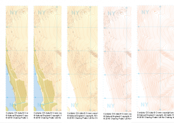
 "Langdale NW" Collection£10.99
Our full set of 1:25,000 scale maps covering Langdale's North West corner (approx. center NY275075).
Known for its stunning countryside, tricky navigational terrain and beautiful wild camping spots, the Langdale Fells provide a true mountain adventure for every type of explorer.
Learn More -
 "Langdale NE" Collection£10.99
Our full set of 1:25,000 scale maps covering Langdale's North East corner (approx. center NY345075).
Known for its stunning countryside, tricky navigational terrain and beautiful wild camping spots, the Langdale Fells provide a true mountain adventure for every type of explorer.
Learn More -
 "Langdale SE" Collection£10.99
Our full set of 1:25,000 scale maps covering Langdale's South East corner (approx. center NY345035).
Known for its stunning countryside, tricky navigational terrain and beautiful wild camping spots, the Langdale Fells provide a true mountain adventure for every type of explorer.
Learn More -
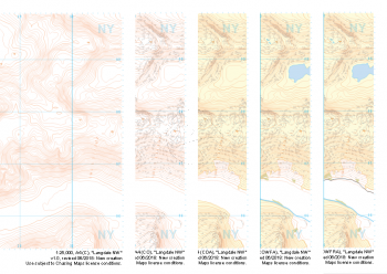
 "Helvellyn" Collection£10.99
Our full set of 1:25,000 scale maps covering Helvellyn (approx. center NY354155).
Helvellyn stands as one of the best known peaks in the Lake District National Park. Home to the stunning horseshoe comprising the classic scrambles of Swirral Edge and Striding Edge as well as the Lake District Fell Top Assessors during the winter months providing the mountain community with vital updates on ground conditions for the wider area. While she can be beautiful and calm in any season she is also known to show her teeth and accidents on the edges are frequent, especially in the winter months.
Learn More -
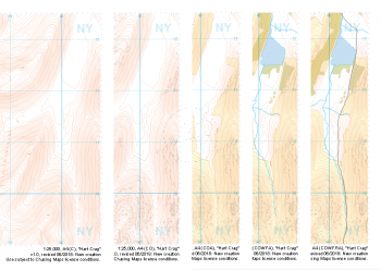 "Hart Crag" Collection£10.99
Our full set of 1:25,000 scale maps covering Hart Crag and Dovedale (approx. center NY374110).
This area south of the famous Helvellyn is often overlooked but provides some beautifully non-crowded alternatives. Navigationally this area provides many opportunities to practice contour and slope aspect work.
Learn More -
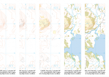
 "Glyderau Central" Collection£10.99
1:25,000 scale map covering Glyderau Central in the North Wales (approx. center SH643585).
Learn More -
 "Glyderau West" Collection£10.99
1:25,000 scale map covering Glyderau West in the North Wales (approx. center SH617611).
Learn More