Contour Mapping
-
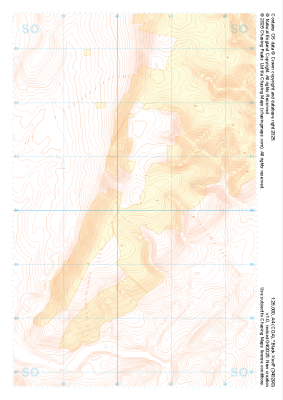 "Black Knoll" Landform+£4.99
1:25,000 scale map covering Black Knoll in the Midlands (approx. center SO403902).
Learn More -
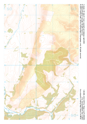 "Black Knoll" Natural Features£4.99
1:25,000 scale map covering Black Knoll in the Midlands (approx. center SO403902).
Learn More -
 "Black Knoll" Major Hazards£4.99
1:25,000 scale map covering Black Knoll in the Midlands (approx. center SO403902).
Learn More -
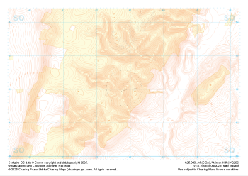 "Minton Hill" Landform+£4.99
1:25,000 scale map covering Minton Hill in the Midlands (approx. center SO428922).
Learn More -
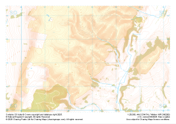 "Minton Hill" Natural Features£4.99
1:25,000 scale map covering Minton Hill in the Midlands (approx. center SO428922).
Learn More -
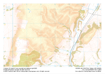 "Minton Hill" Major Hazards£4.99
1:25,000 scale map covering Minton Hill in the Midlands (approx. center SO428922).
Learn More -
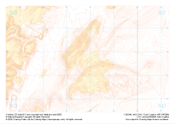 "Caer Caradoc Hill" Landform+£4.99
1:25,000 scale map covering Caer Caradoc Hill in the Midlands (approx. center SO479947).
Learn More -
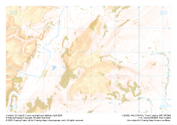 "Caer Caradoc Hill" Natural Features£4.99
1:25,000 scale map covering Caer Caradoc Hill in the Midlands (approx. center SO479947).
Learn More -
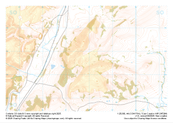 "Caer Caradoc Hill" Major Hazards£4.99
1:25,000 scale map covering Caer Caradoc Hill in the Midlands (approx. center SO479947).
Learn More -
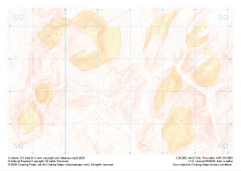 "Roundton Hill" Landform+£4.99
1:25,000 scale map covering Roundton Hill in the Midlands (approx. center SO317953).
Learn More