Contour Mapping
-
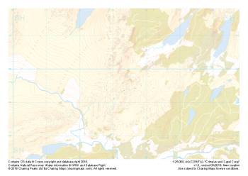 "Crimpiau and Capel Curig" Natural Features£4.99
1:25,000 scale map covering the area around Crimpiau and Capel Curig in North Wales (approx. center SH735595).
Crimpiau near Capel Curig is perfectly suited to mountain navigation and micro navigation training. Thanks to its complexity, the area is used frequently by instructors and centres in the area, including the national mountain centre and the forces adventurous training unit.
Learn More -
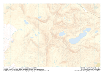 "Snowdon / Yr Wyddfa" Major Hazards£4.99
1:25,000 scale map covering Snowdon in North Wales (approx. center SH605545).
Yr Wyddfa as she is known in Welsh is the most summited mountain in Great Britain and one of the busiest summits in Europe. An integral part of the national and Welsh three peaks challenge as well as the Welsh 3000s challenge the area is well known by many walkers.
Away from the well trodden paths used by thousands each year the area boasts some true hidden gems and challenges for all levels of navigators, right up to the experts.
Learn More -
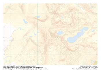 "Snowdon / Yr Wyddfa" Natural Features£4.99
1:25,000 scale map covering Snowdon in North Wales (approx. center SH605545).
Yr Wyddfa as she is known in Welsh is the most summited mountain in Great Britain and one of the busiest summits in Europe. An integral part of the national and Welsh three peaks challenge as well as the Welsh 3000s challenge the area is well known by many walkers.
Away from the well trodden paths used by thousands each year the area boasts some true hidden gems and challenges for all levels of navigators, right up to the experts.
Learn More -
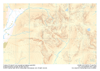 "Scafell Pike" Natural Features£4.99
1:25,000 scale map covering Scafell Pike in the Lake District (approx. center NY215075).
The highest summit in England sits within the beautiful western fells of the Lake District National Park.
Learn More -
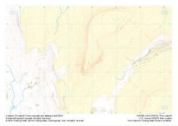
 "Dragon Back" Major Hazards£4.99
1:25,000 scale map covering the Dragon's Back in the Brecon Beacons (approx. center SO175305).
Known as Y Grib, the small but defined ridge of the Dragon's Back rises up onto the plateau of the Black Mountains.
Learn More -
 "Dragon Back" Natural Features£4.99
1:25,000 scale map covering the Dragon's Back in the Brecon Beacons (approx. center SO175305).
Known as Y Grib, the small but defined ridge of the Dragon's Back rises up onto the plateau of the Black Mountains.
Learn More -
 "Ben Nevis / Beinn Nibheis" Natural Features£4.99
1:25,000 scale map covering Ben Nevis in the Scottish Highlands (approx. center NN165715).
The UK's highest mountain not only forms part of the national 3 peaks challenge but also boasts one of the most challenging descents in poor weather off any "easily walkable" mountain on our isles.
Learn More -
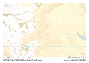
 "Pen-y-ghent" Major Hazards£4.99
1:25,000 scale map covering Pen-y-ghent in the Yorkshire Dales (approx. center SD839734).
Learn More -
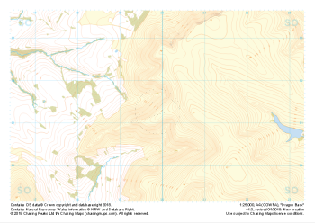
 "Pen-y-ghent" Natural Features£4.99
1:25,000 scale map covering Pen-y-ghent in the Yorkshire Dales (approx. center SD839734).
Learn More -
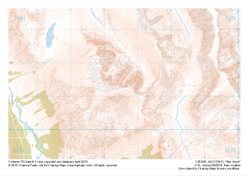
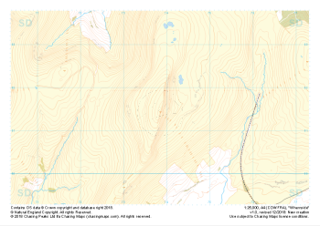 "Whernside" Major Hazards£4.99
1:25,000 scale map covering Whernside in the Yorkshire Dales (approx. center SD738814).
Learn More