Contour Mapping
-
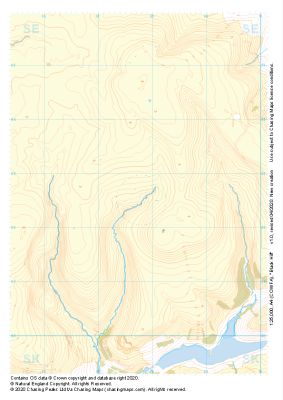
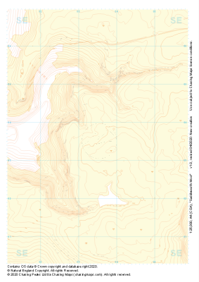 "Saddleworth Moor" Landform+£4.99
1:25,000 scale map covering Saddleworth Moor in the Peak District (approx. center SE035035).
Learn More -
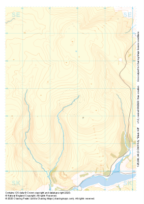
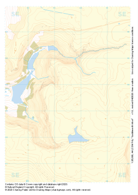 "Saddleworth Moor" Natural Features£4.99
1:25,000 scale map covering Saddleworth Moor in the Peak District (approx. center SE035035).
Learn More -
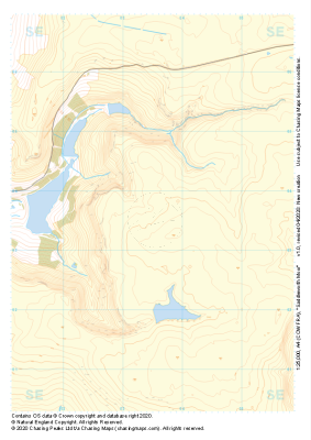 "Saddleworth Moor" Major Hazards£4.99
1:25,000 scale map covering Saddleworth Moor in the Peak District (approx. center SE035035).
Learn More -
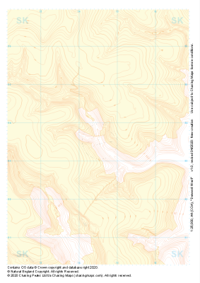
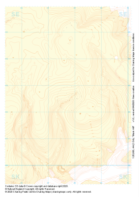 "Black Hill" Landform+£4.99
1:25,000 scale map covering Black Hill in the Peak District (approx. center SE078025).
Learn More -
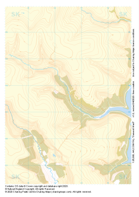
 "Black Hill" Natural Features£4.99
1:25,000 scale map covering Black Hill in the Peak District (approx. center SE078025).
Learn More -
 "Black Hill" Major Hazards£4.99
1:25,000 scale map covering Black Hill in the Peak District (approx. center SE078025).
Learn More -
 "Derwent West" Landform+£4.99
1:25,000 scale map covering Derwent West in the Peak District (approx. center SK145935).
Learn More -
 "Derwent West" Natural Features£4.99
1:25,000 scale map covering Derwent West in the Peak District (approx. center SK145935).
Learn More -
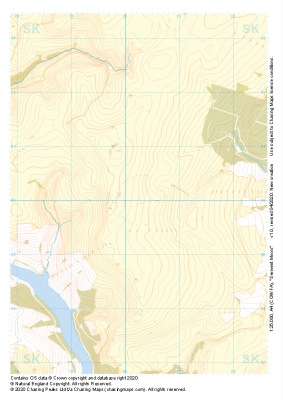
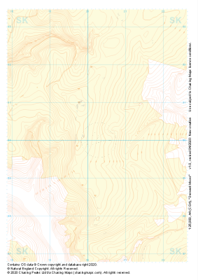 "Derwent Moors" Landform+£4.99
1:25,000 scale map covering Derwent Moors in the Peak District (approx. center SK203900).
Learn More -
 "Derwent Moors" Natural Features£4.99
1:25,000 scale map covering Derwent Moors in the Peak District (approx. center SK203900).
Learn More