Contour Mapping
-
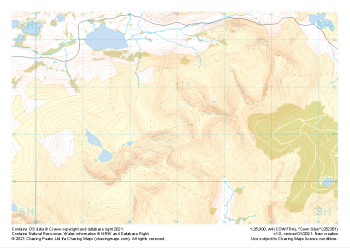 "Cwm Silyn" Major Hazards£4.99
1:25,000 scale map covering Cwm Silyn in the North Wales (approx. center SH530513).
Learn More -
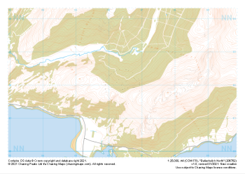 "Ballachulish North" Major Hazards£4.99
1:25,000 scale map covering Ballachulish North in the Scottish Highlands (approx. center NN064621).
Learn More -
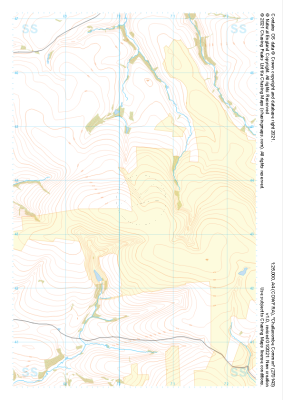 "Challacombe Common" Major Hazards£4.99
1:25,000 scale map covering Challacombe Common in the South West (approx. center SS703436).
Learn More -
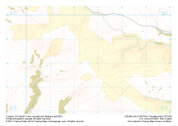 "Squallacombe" Major Hazards£4.99
1:25,000 scale map covering Squallacombe in the South West (approx. center SS726381).
Learn More -
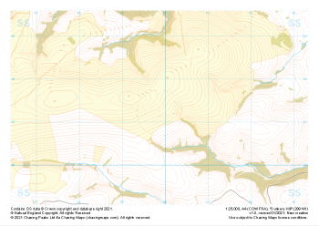
 "Furzehill Common" Major Hazards£4.99
1:25,000 scale map covering Furzehill Common in the South West (approx. center SS745436).
Learn More -
 "Brendon Common" Major Hazards£4.99
1:25,000 scale map covering Brendon Common in the South West (approx. center SS785436).
Learn More -
 "Mill Hill" Major Hazards£4.99
1:25,000 scale map covering Mill Hill in the South West (approx. center SS836452).
Learn More -
 "Almsworthy Common" Major Hazards£4.99
1:25,000 scale map covering Almsworthy Common in the South West (approx. center SS836413).
Learn More -
 "Dunkery Hill" Major Hazards£4.99
1:25,000 scale map covering Dunkery Hill in the South West (approx. center SS899413).
Learn More -
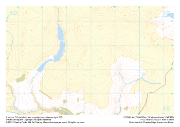 "Wadsworth Moor" Major Hazards£4.99
1:25,000 scale map covering Wadsworth Moor in the Midlands (approx. center SD980334).
Learn More