"Wadsworth Moor" Major Hazards
Delivery time: 0
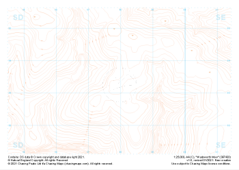
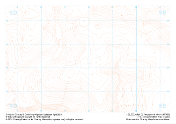
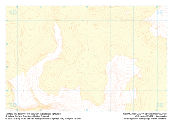
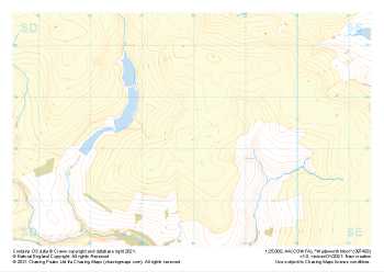
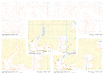
1:25,000 scale map covering Wadsworth Moor in the Midlands (approx. center SD980334).
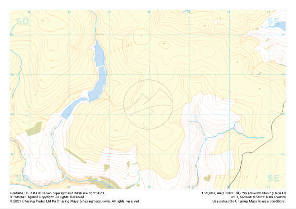
1:25,000 scale map covering Wadsworth Moor in the Midlands (approx. center SD980334).
The map features our "Major Hazards" features and symbology, complete with:
- Labeled contours
- Rocky outcrops and crags
- Major water bodies (rivers, lakes, large ponds and tidal water)
- Areas of Forest
- Major Roads and Railways
- Access Land (England and Wales only)
This is a digital product and will be supplied as downloadable PDF files directly within your account on our shop. As with all of our digital print supply products, this one is supplied in two versions, a standard contrast and high contrast version. Which of these you should use is entirely up to you and will depend on your method of use. We find that the high contrast version works better on digital devices and ink based printers, while the normal contrast version tends to work better with laser printers.
All of our maps come with a free personal use license, allowing you to print the maps as often as you like, as long as you only hold two printed copies at any time. Take a look at our licensing section to learn more about the do's and dont's of the personal use license and the other options available.
| Size | A4 |
|---|---|
| Map Scale | 1:25,000 |
| Contour Interval | 10m |
| Design Type | Contour Mapping, Major Hazards |
| Included Features | Contours and Labels, Rocky Features, Major Water Features, Major Roads and Rail, Woodland, Open Access Land |