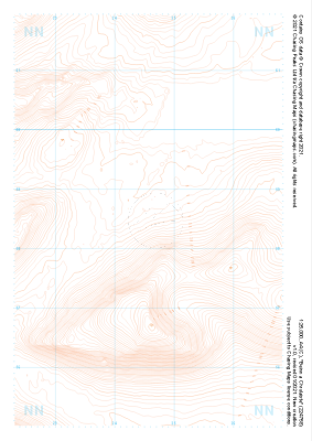
Our purist "Contour Only" maps do exactly what it says on the label. Showing you contours at 5m or 10m intervals depending on the area, tidal lines (effectively the 0m contour) and height labels, these maps are perfect to train your terrain interpretation. As with all of our maps we also provide the national grid overlay to allow for effective taking of bearings and grid references.
Contour Only
-
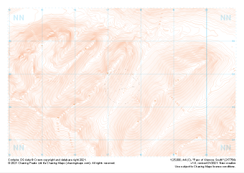
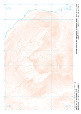
 "Pass of Glencoe North" Contour Only£4.99
1:25,000 scale map covering Pass of Glencoe North in the Scottish Highlands (approx. center NN199589).
Learn More -
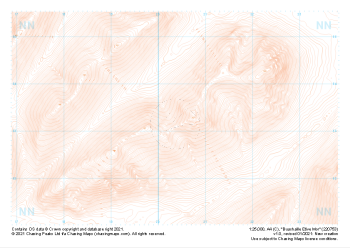
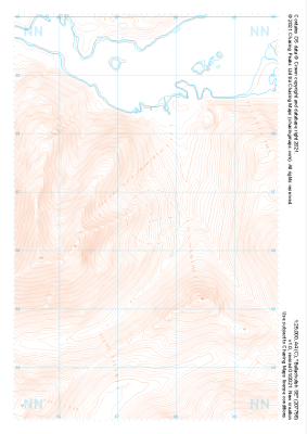
 "Beinn a Chrulaiste" Contour Only£4.99
1:25,000 scale map covering Beinn a Chrulaiste in the Scottish Highlands (approx. center NN246585).
Learn More -
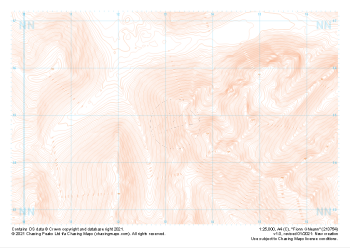
 "Buachaille Etive Mor" Contour Only£4.99
1:25,000 scale map covering Buachaille Etive Mor in the Scottish Highlands (approx. center NN204533).
Learn More -
 "Pass of Glencoe South" Contour Only£4.99
1:25,000 scale map covering Pass of Glencoe South in the Scottish Highlands (approx. center NN174547).
Learn More -
 "Fionn Ghleann" Contour Only£4.99
1:25,000 scale map covering Fionn Ghleann in the Scottish Highlands (approx. center NN132549).
Learn More -
 "Ballachulish SW" Contour Only£4.99
1:25,000 scale map covering Ballachulish SW in the Scottish Highlands (approx. center NN032566).
Learn More -
 "Ballachulish SE" Contour Only£4.99
1:25,000 scale map covering Ballachulish SE in the Scottish Highlands (approx. center NN075566).
Learn More -
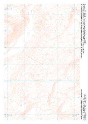 "Moel Meirch" Contour Only£4.99
1:25,000 scale map covering Moel Meirch in the North Wales (approx. center SH661511).
Learn More -
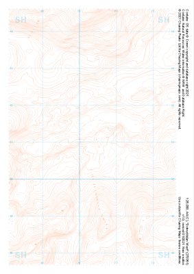 "Dolwyddelan West" Contour Only£4.99
1:25,000 scale map covering Dolwyddelan West in the North Wales (approx. center SH703511).
Learn More -
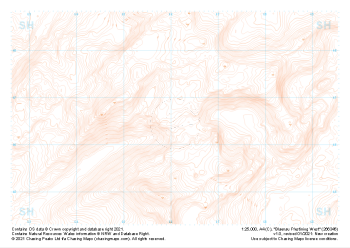 "Blaenau Ffestiniog West" Contour Only£4.99
1:25,000 scale map covering Blaenau Ffestiniog West in the North Wales (approx. center SH661466).
Learn More