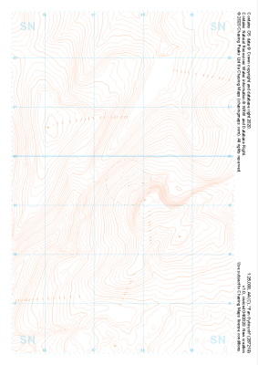
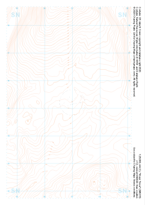
Our purist "Contour Only" maps do exactly what it says on the label. Showing you contours at 5m or 10m intervals depending on the area, tidal lines (effectively the 0m contour) and height labels, these maps are perfect to train your terrain interpretation. As with all of our maps we also provide the national grid overlay to allow for effective taking of bearings and grid references.
Contour Only
-
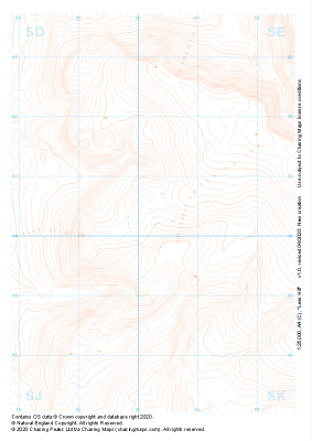 "Lees Hill" Contour Only£4.99
1:25,000 scale map covering Lees Hill in the Peak District (approx. center SE003003).
Learn More -
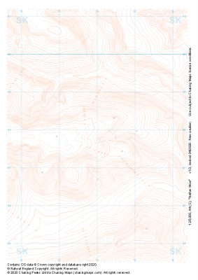
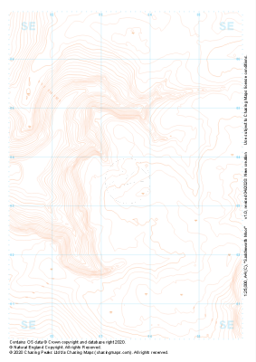 "Saddleworth Moor" Contour Only£4.99
1:25,000 scale map covering Saddleworth Moor in the Peak District (approx. center SE035035).
Learn More -
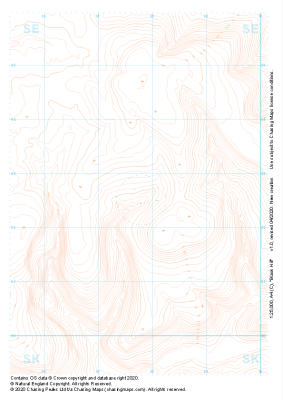 "Black Hill" Contour Only£4.99
1:25,000 scale map covering Black Hill in the Peak District (approx. center SE078025).
Learn More -
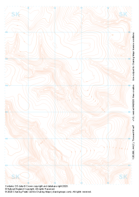 "Derwent West" Contour Only£4.99
1:25,000 scale map covering Derwent West in the Peak District (approx. center SK145935).
Learn More -
 "Derwent Moors" Contour Only£4.99
1:25,000 scale map covering Derwent Moors in the Peak District (approx. center SK203900).
Learn More -
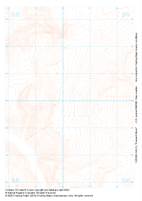
 "Nether Moor" Contour Only£4.99
1:25,000 scale map covering Nether Moor in the Peak District (approx. center SK140877).
Learn More -
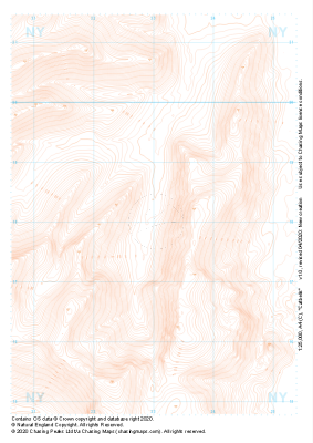 "Catbells" Contour Only£4.99
1:25,000 scale map covering Catbells in the Lake District (approx. center NY230180).
Learn More -
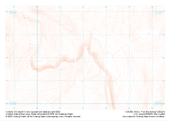 "Fan Brycheiniog" Contour Only£4.99
1:25,000 scale map covering Fan Brycheiniog in the South Wales (approx. center SN821219).
Learn More -
 "Fan Gyhirych" Contour Only£4.99
1:25,000 scale map covering Fan Gyhirych in the South Wales (approx. center SN876193).
Learn More -
 "Waun Tincer" Contour Only£4.99
1:25,000 scale map covering Waun Tincer in the South Wales (approx. center SN969151).
Learn More