Our "Landform" maps show you the contours with some rocky detail thrown in. This map is particularly suited to navigating by contours in mountaineous areas where cliffs and rocky outcrops can present serious hazards. Alongside 5m or 10m contours and rocky features, the map features tidal lines (effectively the 0m contour), height labels and a national grid overlay to aid the use of bearings and grid references.
Landform
-
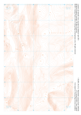
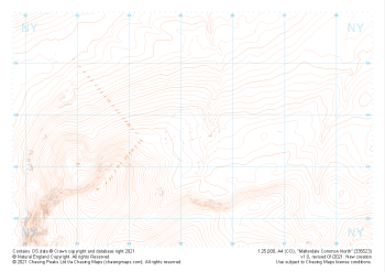 "Matterdale Common North" Landform£4.99
1:25,000 scale map covering Matterdale Common North in the Lake District (approx. center NY352237).
Learn More -
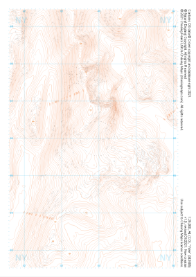
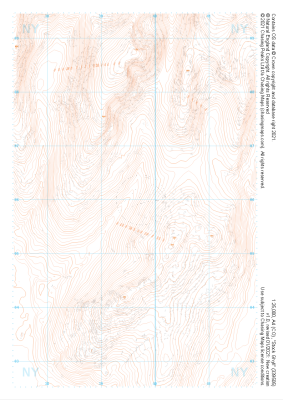 "Stock Ghyll" Landform£4.99
1:25,000 scale map covering Stock Ghyll in the Lake District (approx. center NY396060).
Learn More -
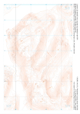 "Martindale Common West" Landform£4.99
1:25,000 scale map covering Martindale Common West in the Lake District (approx. center NY415166).
Learn More -
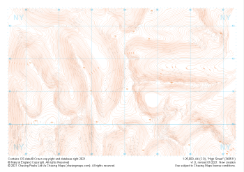 "High Street" Landform£4.99
1:25,000 scale map covering High Street in the Lake District (approx. center NY439113).
Learn More -
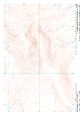
 "Martindale Common East" Landform£4.99
1:25,000 scale map covering Martindale Common East in the Lake District (approx. center NY453166).
Learn More -
 "Yoke" Landform£4.99
1:25,000 scale map covering Yoke in the Lake District (approx. center NY438060).
Learn More -
 "Sadgill" Landform£4.99
1:25,000 scale map covering Sadgill in the Lake District (approx. center NY480060).
Learn More -
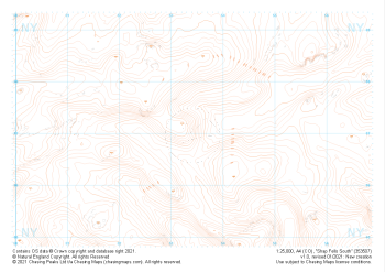 "Shap Fells South" Landform£4.99
1:25,000 scale map covering Shap Fells South in the Lake District (approx. center NY534071).
Learn More -
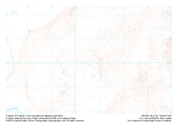 Free Sample "Tyddyn Felin" Landform£0.00
1:25,000 scale map covering the area around Tyddyn Felin in North Wales (approx. center SH605295).
Part of our FREE sample maps range, this map featuring our "Landform" features and symbology is the perfect showcase for our "off-the-shelf" contour mapping.
Learn More -
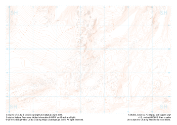 "Crimpiau and Capel Curig" Landform£4.99
1:25,000 scale map covering the area around Crimpiau and Capel Curig in North Wales (approx. center SH735595).
Crimpiau near Capel Curig is perfectly suited to mountain navigation and micro navigation training. Thanks to its complexity, the area is used frequently by instructors and centres in the area, including the national mountain centre and the forces adventurous training unit.
Learn More