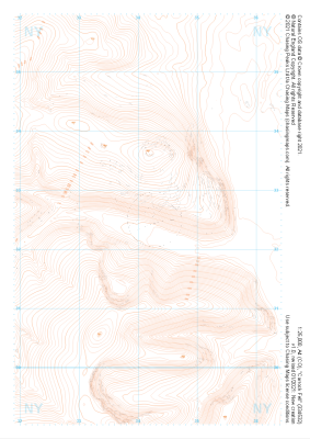
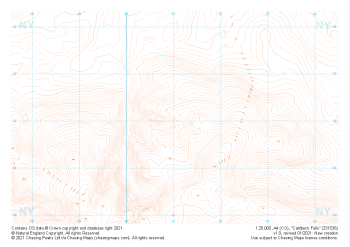
Our "Landform" maps show you the contours with some rocky detail thrown in. This map is particularly suited to navigating by contours in mountaineous areas where cliffs and rocky outcrops can present serious hazards. Alongside 5m or 10m contours and rocky features, the map features tidal lines (effectively the 0m contour), height labels and a national grid overlay to aid the use of bearings and grid references.
Landform
-
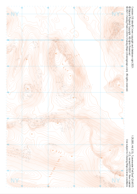 "Loweswater Fell East" Landform£4.99
1:25,000 scale map covering Loweswater Fell East in the Lake District (approx. center NY147178).
Learn More -
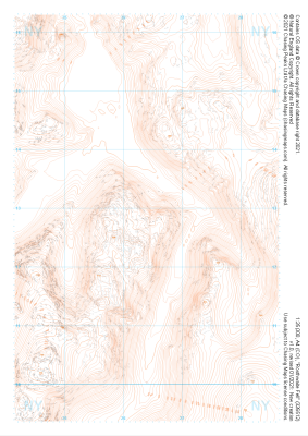
 "Honister Pass" Landform£4.99
1:25,000 scale map covering Honister Pass in the Lake District (approx. center NY221125).
Learn More -
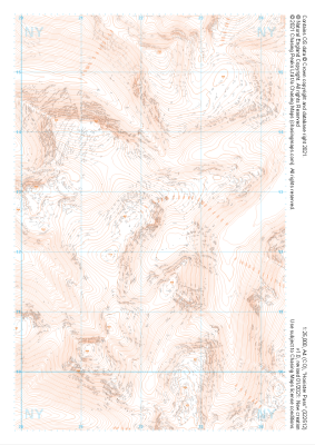
 "Rosthwaite Fell" Landform£4.99
1:25,000 scale map covering Rosthwaite Fell in the Lake District (approx. center NY264128).
Learn More -
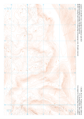 "Wythburn Fells" Landform£4.99
1:25,000 scale map covering Wythburn Fells in the Lake District (approx. center NY308128).
Learn More -
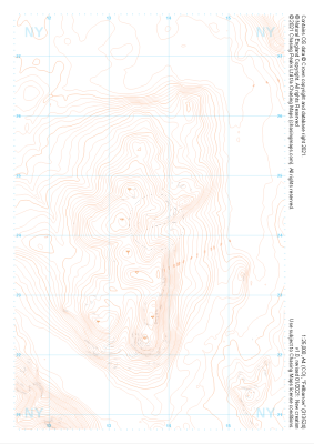
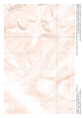 "Knott Rigg" Landform£4.99
1:25,000 scale map covering Knott Rigg in the Lake District (approx. center NY189186).
Learn More -
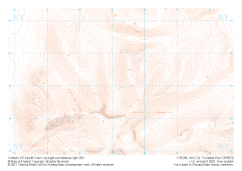 "Grisedale Pike" Landform£4.99
1:25,000 scale map covering Grisedale Pike in the Lake District (approx. center NY193231).
Learn More -
 "Fellbarrow" Landform£4.99
1:25,000 scale map covering Fellbarrow in the Lake District (approx. center NY137242).
Learn More -
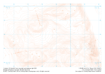 "Broom Fell" Landform£4.99
1:25,000 scale map covering Broom Fell in the Lake District (approx. center NY187279).
Learn More -
 "Carrock Fell" Landform£4.99
1:25,000 scale map covering Carrock Fell in the Lake District (approx. center NY342325).
Learn More -
 "Caldbeck Fells" Landform£4.99
1:25,000 scale map covering Caldbeck Fells in the Lake District (approx. center NY310361).
Learn More