Our "Landform" maps show you the contours with some rocky detail thrown in. This map is particularly suited to navigating by contours in mountaineous areas where cliffs and rocky outcrops can present serious hazards. Alongside 5m or 10m contours and rocky features, the map features tidal lines (effectively the 0m contour), height labels and a national grid overlay to aid the use of bearings and grid references.
Landform
-
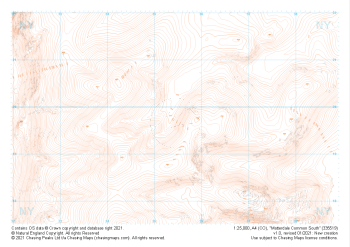 "Matterdale Common South" Landform£4.99
1:25,000 scale map covering Matterdale Common South in the Lake District (approx. center NY354198).
Learn More -
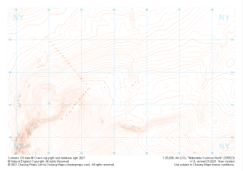 "Matterdale Common North" Landform£4.99
1:25,000 scale map covering Matterdale Common North in the Lake District (approx. center NY352237).
Learn More -
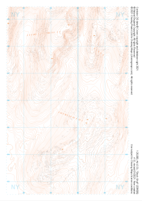 "Stock Ghyll" Landform£4.99
1:25,000 scale map covering Stock Ghyll in the Lake District (approx. center NY396060).
Learn More -
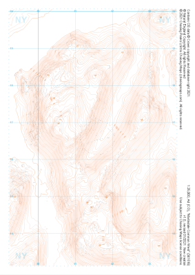 "Martindale Common West" Landform£4.99
1:25,000 scale map covering Martindale Common West in the Lake District (approx. center NY415166).
Learn More -
 "High Street" Landform£4.99
1:25,000 scale map covering High Street in the Lake District (approx. center NY439113).
Learn More -
 "Martindale Common East" Landform£4.99
1:25,000 scale map covering Martindale Common East in the Lake District (approx. center NY453166).
Learn More -
 "Yoke" Landform£4.99
1:25,000 scale map covering Yoke in the Lake District (approx. center NY438060).
Learn More -
 "Sadgill" Landform£4.99
1:25,000 scale map covering Sadgill in the Lake District (approx. center NY480060).
Learn More -
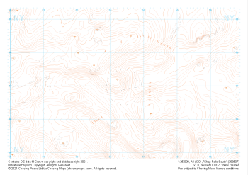 "Shap Fells South" Landform£4.99
1:25,000 scale map covering Shap Fells South in the Lake District (approx. center NY534071).
Learn More -
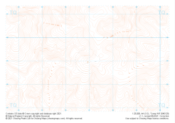 "Camp Hill" Landform£4.99
1:25,000 scale map covering Camp Hill in the South East (approx. center TQ469290).
Learn More