Our "Landform+" range is only available in England and Wales and is almost identical to the "Landform" range. In addition to the features shown in the "Landform" range we have included areas of Access Land on the map. These are shown in the familiar outdoor map style of a yellow tint over the map. In Scotland the access situation does not necessitate the existance of Access Land and therefore there is nothing for us to show.
Landform+
-
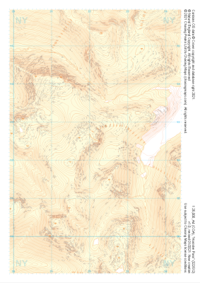 "Honister Pass" Landform+£4.99
1:25,000 scale map covering Honister Pass in the Lake District (approx. center NY221125).
Learn More -
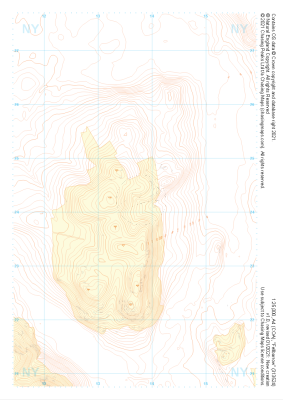
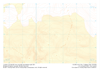
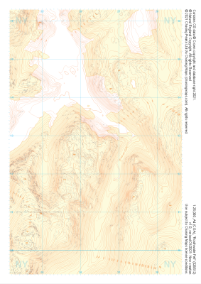 "Rosthwaite Fell" Landform+£4.99
1:25,000 scale map covering Rosthwaite Fell in the Lake District (approx. center NY264128).
Learn More -
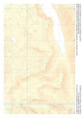 "Wythburn Fells" Landform+£4.99
1:25,000 scale map covering Wythburn Fells in the Lake District (approx. center NY308128).
Learn More -
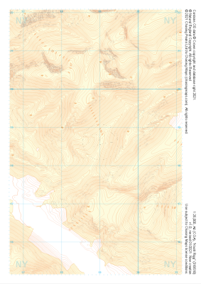 "Knott Rigg" Landform+£4.99
1:25,000 scale map covering Knott Rigg in the Lake District (approx. center NY189186).
Learn More -
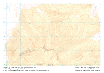 "Grisedale Pike" Landform+£4.99
1:25,000 scale map covering Grisedale Pike in the Lake District (approx. center NY193231).
Learn More -
 "Fellbarrow" Landform+£4.99
1:25,000 scale map covering Fellbarrow in the Lake District (approx. center NY137242).
Learn More -
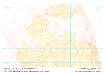 "Broom Fell" Landform+£4.99
1:25,000 scale map covering Broom Fell in the Lake District (approx. center NY187279).
Learn More -
 "Carrock Fell" Landform+£4.99
1:25,000 scale map covering Carrock Fell in the Lake District (approx. center NY342325).
Learn More -
 "Caldbeck Fells" Landform+£4.99
1:25,000 scale map covering Caldbeck Fells in the Lake District (approx. center NY310361).
Learn More -
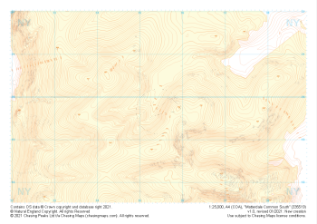 "Matterdale Common South" Landform+£4.99
1:25,000 scale map covering Matterdale Common South in the Lake District (approx. center NY354198).
Learn More