Our "Landform+" range is only available in England and Wales and is almost identical to the "Landform" range. In addition to the features shown in the "Landform" range we have included areas of Access Land on the map. These are shown in the familiar outdoor map style of a yellow tint over the map. In Scotland the access situation does not necessitate the existance of Access Land and therefore there is nothing for us to show.
Landform+
-
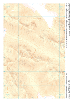 "Pillar" Landform+£4.99
1:25,000 scale map covering Pillar in the Lake District (approx. center NY182125).
Learn More -
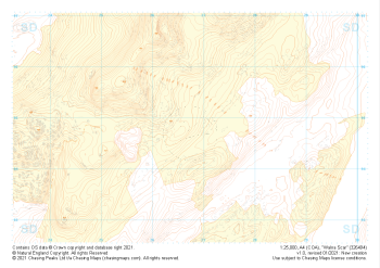 "Walna Scar" Landform+£4.99
1:25,000 scale map covering Walna Scar in the Lake District (approx. center SD267948).
Learn More -
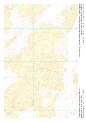 "Woodland Fell" Landform+£4.99
1:25,000 scale map covering Woodland Fell in the Lake District (approx. center SD275910).
Learn More -
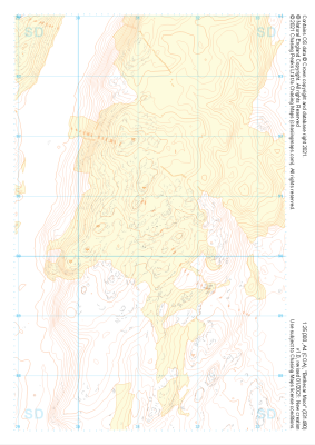 "Bethecar Moor" Landform+£4.99
1:25,000 scale map covering Bethecar Moor in the Lake District (approx. center SD312906).
Learn More -
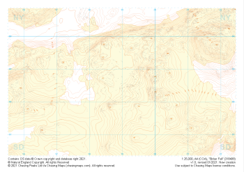 "Birker Fell" Landform+£4.99
1:25,000 scale map covering Birker Fell in the Lake District (approx. center SD190986).
Learn More -
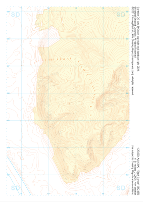 "Black Combe" Landform+£4.99
1:25,000 scale map covering Black Combe in the Lake District (approx. center SD127857).
Learn More -
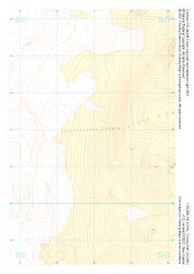 "Corney Fell" Landform+£4.99
1:25,000 scale map covering Corney Fell in the Lake District (approx. center SD130918).
Learn More -
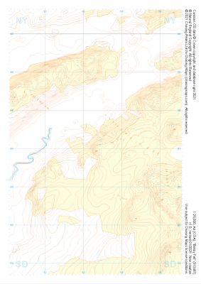 "Birkby Fell" Landform+£4.99
1:25,000 scale map covering Birkby Fell in the Lake District (approx. center SD133972).
Learn More -
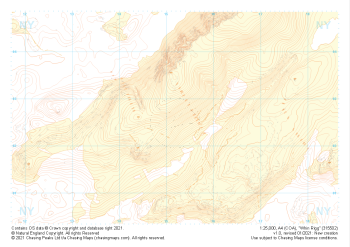 "Whin Rigg" Landform+£4.99
1:25,000 scale map covering Whin Rigg in the Lake District (approx. center NY152026).
Learn More -
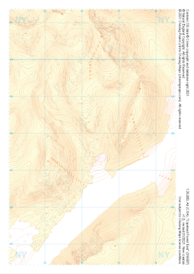 "Copeland Forest East" Landform+£4.99
1:25,000 scale map covering Copeland Forest East in the Lake District (approx. center NY163079).
Learn More
